

Custom Search
Showing posts with label Gorge. Show all posts
Showing posts with label Gorge. Show all posts
Monday, May 15, 2017
Southward


Thursday, July 2, 2015
Canada Day on the Gorge
Friday, October 19, 2012
Sequoias in Victoria

Saturday, January 14, 2012
Boat
 I've been thinking about why I like this photo and also why I derived such pleasure out of the Wood Ducks I've been posting photos of the last few days. I think it's an effect of seasonal affective disorder. Around this time of year, especially after a succession of short gloomy gray days, anything that bears the bold brilliant colors of warmer seasons is refreshing to the eyes and to the mind. The Wood Ducks and this small boat have this in common and remind me that we are now on the downhill slope towards spring. This little boat was moored yesterday below the Selkirk Trestle in Vic West and I thank its owner for these rich colors.
Wednesday, November 30, 2011
More Night Lights

Thursday, February 24, 2011
Boats in the Snow

Thursday, February 10, 2011
Admirals Bridge

Tuesday, February 8, 2011
Tillicum Bridge

Thursday, January 6, 2011
Bay Street Bridge III

| From beneath the Bay Street Bridge the view above is looking north and slightly west up the Gorge towards the Selkirk Waters. The house on the opposite shore that is visible through the trees is Point Ellice House. The photo on the right is the view looking in the opposite direction, down the Gorge towards the city. On the left is LaFarge Cement and Butler's Concrete. The large blue building is a thrift store called Valu Village. |  |
Sunday, September 26, 2010
Selkirk Trestle Sunrise

Saturday, August 21, 2010
Upper Gorge - Craigflower Manor and School

Sunday, January 3, 2010
Parrot
 Actually I know this is not a parrot. But I've just spent an hour searching through my Peterson's Field Guide to Western Birds
 without finding anything that really matches this fellow. The sun came out for awhile yesterday and while I was wandering around above the Gorge, he (or she) came and struck this lovely pose. So I've titled this post "parrot" in the hopes that some irate birder will click through and inform me what kind of bird this is.
Bravo to reader Marnie, Ms. Toast Burner, who blogs over at "One Slice at a Time." She identifies this as a male House Finch (Carpodacus mexicanus), a member of the rosefinch genus. Wikipedia has a good picture of this bird that leaves little doubt she is correct. Thank you Marnie!
Tuesday, November 3, 2009
Sunset on the Gorge
 The Gorge is a splendid feature of Victoria and is well used by residents who like to be on the water. This is a fairly typical scene in the late afternoon as rowers and boaters head for home under some very photogenic clouds. This photo was taken from Selkirk Trestle, looking towards the city. The island on the left, Halkett Island, was featured in an earlier post.
Thursday, October 15, 2009
Autumn Sunset
 Though it has yet to freeze here the nights are cold enough to turn the leaves on these trees on the banks of the Gorge. Here we are looking towards downtown from the vicinity of the Railyards in Vic West. The nearest bridge is the Bay Street (or Point Ellice) Bridge and just visible beneath it in the distance is the bright blue Johnson Street Bridge.
Thursday, September 10, 2009
Industrial

Saturday, July 4, 2009
Selkirk Waters
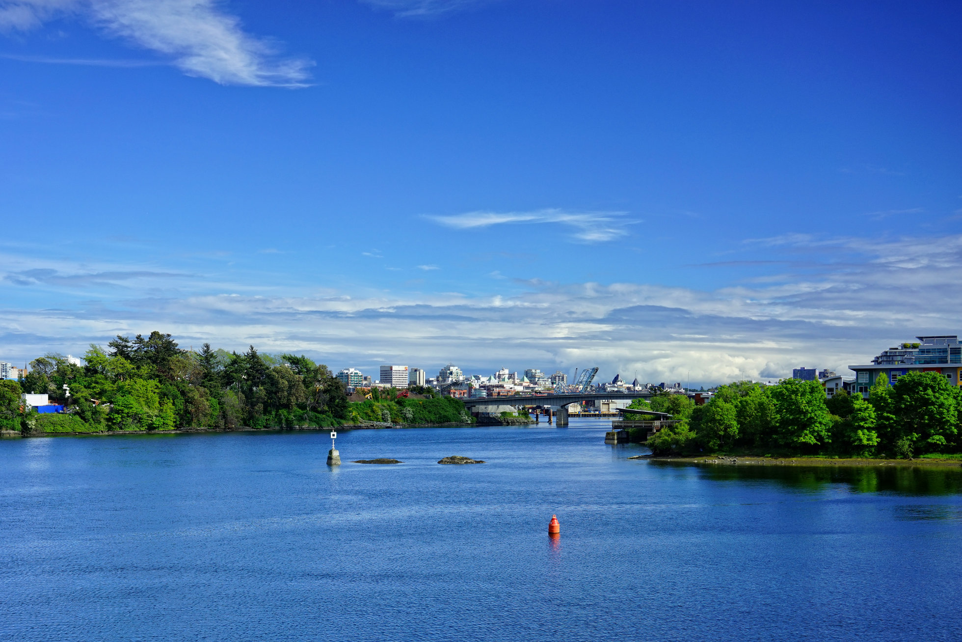
 This view is from the eastern bank of the Gorge looking towards the city and the Inner Harbour. Beyond the Bay Street or Point Ellice Bridge can be seen the condo development known as Dockside Green. The brightly colored condos on the right are called the Railyards.
Today is the annual national holiday of our southern neighbors in the United States of America and I send them my best wishes for a happy holiday.
Monday, May 11, 2009
Vic West Fest - May, 2009


Sunday, March 29, 2009
Halkett Island
 This small rocky island lies in the middle of the Gorge just east of the Selkirk Trestle (to the right in the photo). It was originally a burial island and marked the boundary between two family groups of the Lekwungen, now known as the Songhees and the Esquimalt First Nations.
In 1850, the "Island of the Dead" contained subsurface burials, but was mostly covered with small sheds, burial boxes and canoes containing human remains. The deceased were often placed in a fetal position and wrapped in a cedar bark mat. Adults were placed in a European-made, metal trimmed trunk and children were often placed in wooden cracker boxes.
Life sized carved wooden memorial figures representing prominent individuals were a common feature of burial locations.
The Lekwungen people, from the old Songhees reserve across the water, came to the island at twilight for feeding of the dead ceremonies. Sticks with chunks of sap were thrown into a fire to keep it blazing until midnight. Ritual words and chanting proceeded, as food to feed the dead was thrown into the fire.
Burials were no longer placed here after 1867, when a fire set by three Victoria boys got out of control and burned off the island. The boys' parents were heavily fined under the Indian Graves Protection Act. The island was taken away from the Songhees in 1924 by a Federal Indian Reserve Commission, but was restored to them by court order in 1993.
Joseph Pemberton, Victoria's most prolific early map maker, gave the name Halkett to the island in 1851. The Halketts were a well known, prominent British Navy family at the time.
(From a plaque placed on the shoreline near Halkett Island by the City of Victoria)
Thursday, January 22, 2009
Craigflower Manor


Craigflower Farm was established on land purchased in 1850 from the chiefs of the Kosapsom people, who had lived in the area for millennia. Throughout the farm’s existence, the Kosapsom continued to live on adjacent land, and many became involved in the farm operations, being employed in land clearing, construction, housekeeping and other duties.
The farm was one of four original farms set up by the Hudson’s Bay Company as part of their obligations in settling Vancouver Island. The farms were managed by a subsidiary company, the Puget Sound Agricultural Company, with the expectation that they would not only meet their colonizing objectives, but would also reap a profit from the sale of livestock and produce.
In 1853, Kenneth McKenzie and his family along with 18 farm hands and their families arrived in Victoria aboard the "Norman Morison", following a strenuous six month journey around Cape Horn. They soon took up residence on the farm site, and began clearing land and building accommodations. McKenzie oversaw the construction of the farmhouse, which was modeled after his ancestral home in Scotland. On May 1st, 1856, the McKenzie family moved in.
During the 1850s and 1860s the farm site continued to grow and develop. The school was opened in 1855 with 26 students. The first teacher, Charles Clark lived upstairs in the schoolhouse with his family and a number of children from outlying areas who boarded with them.At that time, there were 20 other dwellings on site, as well as a saw mill, a flour mill, a blacksmith’s shop, a brick kiln, slaughterhouse and a general store. Seventy-six people lived at the farm during this period, but many of the original farmhands chose not to renew their contracts after 1857. The McKenzie family stayed on at Craigflower until 1866, at which time they moved on to their own sheep farm.
The farmhouse was subsequently rented to a series of tenants, but the farm itself did not succeed. The school was closed in 1911, and was subsequently re-opened as a museum in 1931. Eventually acquired by the Province of BC for protection as historic sites, the farmhouse and schoolhouse were declared National Historic Sites in 1967. (From The Land Conservancy Website.)

There is also an excellent description and backgrounder by Maureen Duffus HERE and anaother great source of information from BC Heritage HERE.
Tuesday, January 20, 2009
Craigflower School

The Craigflower Schoolhouse (originally called Maple Point School), the oldest surviving school building in Western Canada, was built on orders from Kenneth MacKenzie. He came from Scotland with his family in 1852 to establish a farm for the Puget Sound Agricultural Company, a subsidiary of the Hudson's Bay Company.Tomorrow we'll have a closer look at the schoolhouse and at nearby Craigflower Manor, home to many of the children who attended this school.
A school was needed for the children of farm employees, as well as those of arriving settlers. The school was started to be built on August 21, 1854 and was completed February 23, 1855. Lumber and foundation bricks were produced at Craigflower Farm across the Gorge. Glass, hardware, and large bricks were imported from England. Total cost was about $4300.
The two-storey building had one schoolroom, and six rooms for the teacher, his family and student boarders from the western communities. The school opened in March, 1855. That same week a ship's bell from the steamer Major Tompkins, that wrecked off Macaulay Point, was hung in the yard. The first Craigflower bridge was built the next winter linking the school to the Craigflower settlement. The building became a focal point for social and religious events. It was used as a school until 1911, when the new Craigflower School was built across the road (superceded by a third building in 1964).
The old school was vacant until it was converted to a museum which the Native Sons and Daughters of British Columbia ran from 1931 until 1975. The provincial Historic Parks and Sites Branch then acquired the property, restored it and reopened it as a museum too.
This simple structure is side-gabled and has brick chimneys both ends. There is a large fireplace in the schoolroom and another in the teacher's quarters. The fourteen-inch-thick walls are composed of sawn clapboard siding applied to diagonal sheathing over standard Hudson's Bay Company log construction. Hewn horizontal logs were slid down from the top between vertical uprights, the joists hewn and sawn, and the roof timbers sawn. The building was set on a concrete foundation in 1929. (From http://www.waymarking.com/waymarks/WM2YHA)

Subscribe to:
Posts (Atom)

