Custom Search
Showing posts with label The Gorge. Show all posts

Thursday, October 26, 2017

Autumn on The Gorge 3

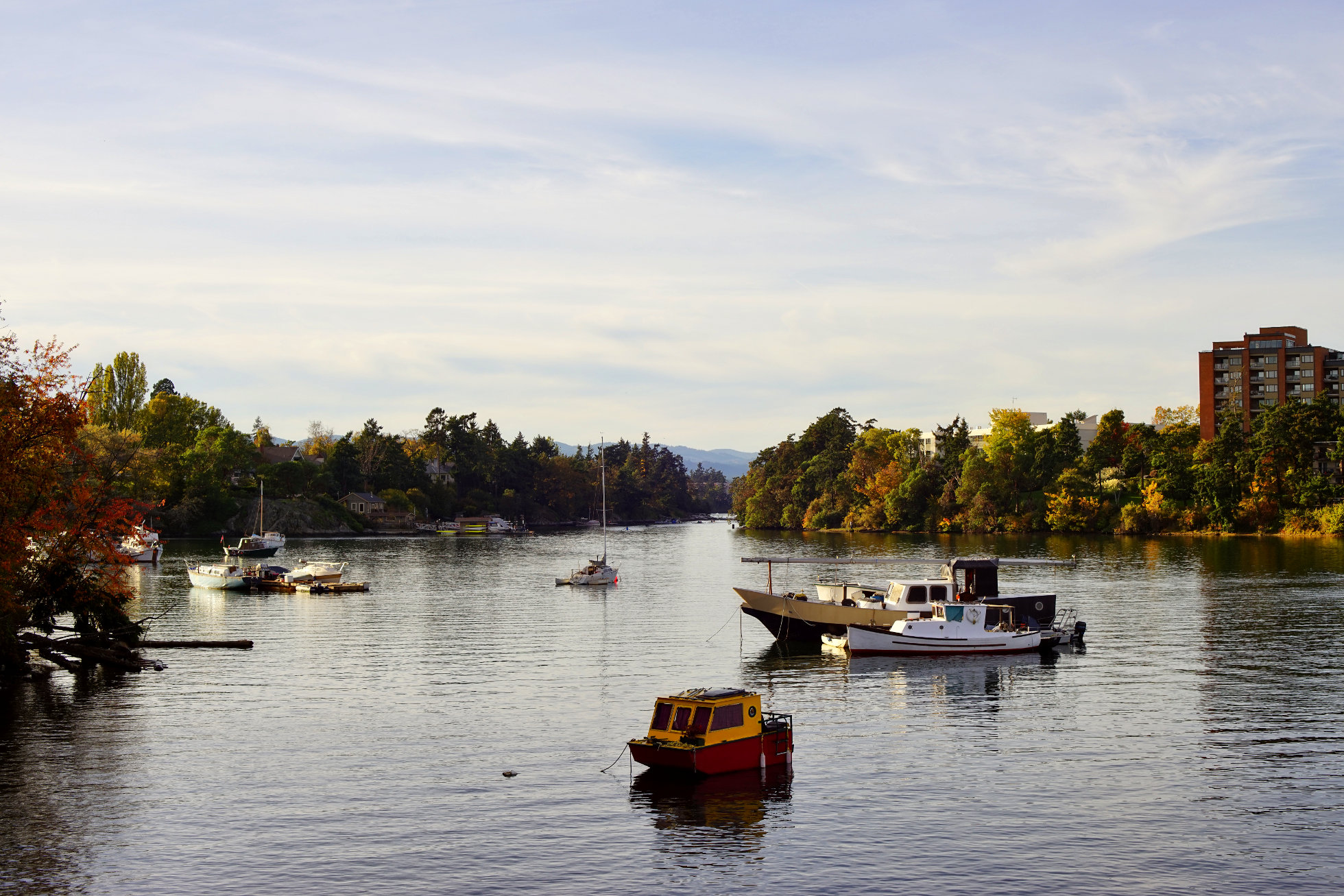
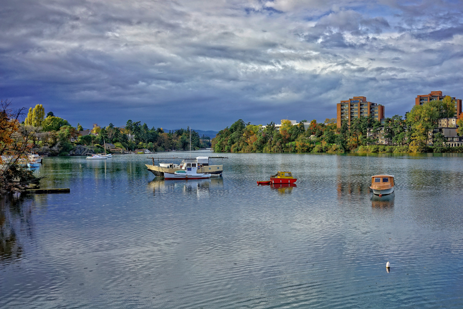
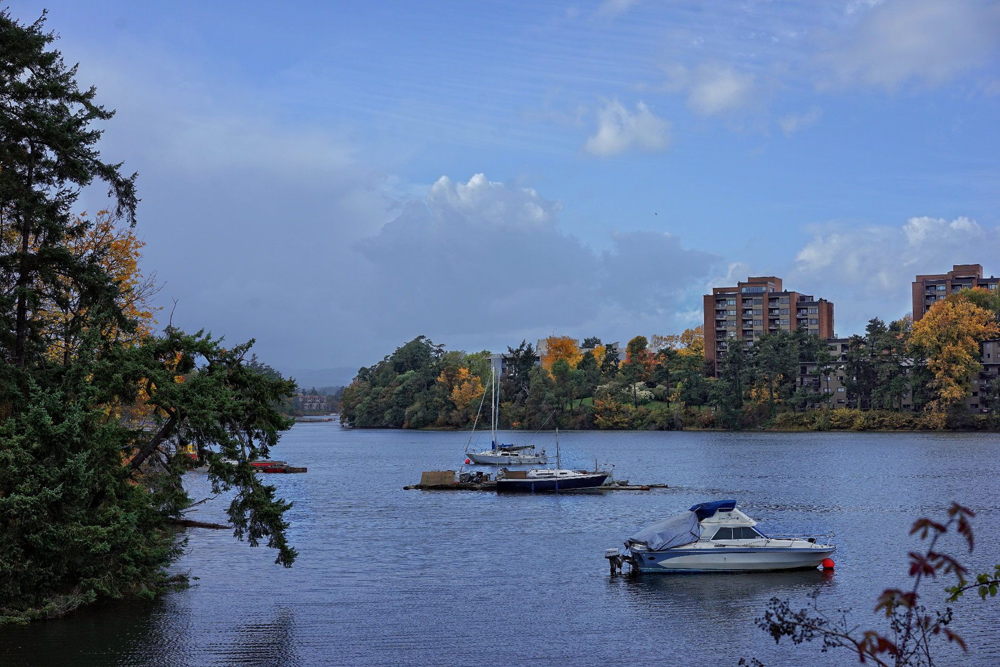
In the last couple of photos of the Gorge we have been looking south towards the city. Here we are looking in the opposite direction, up the Gorge towards the Tillicum Bridge.

Wednesday, October 25, 2017

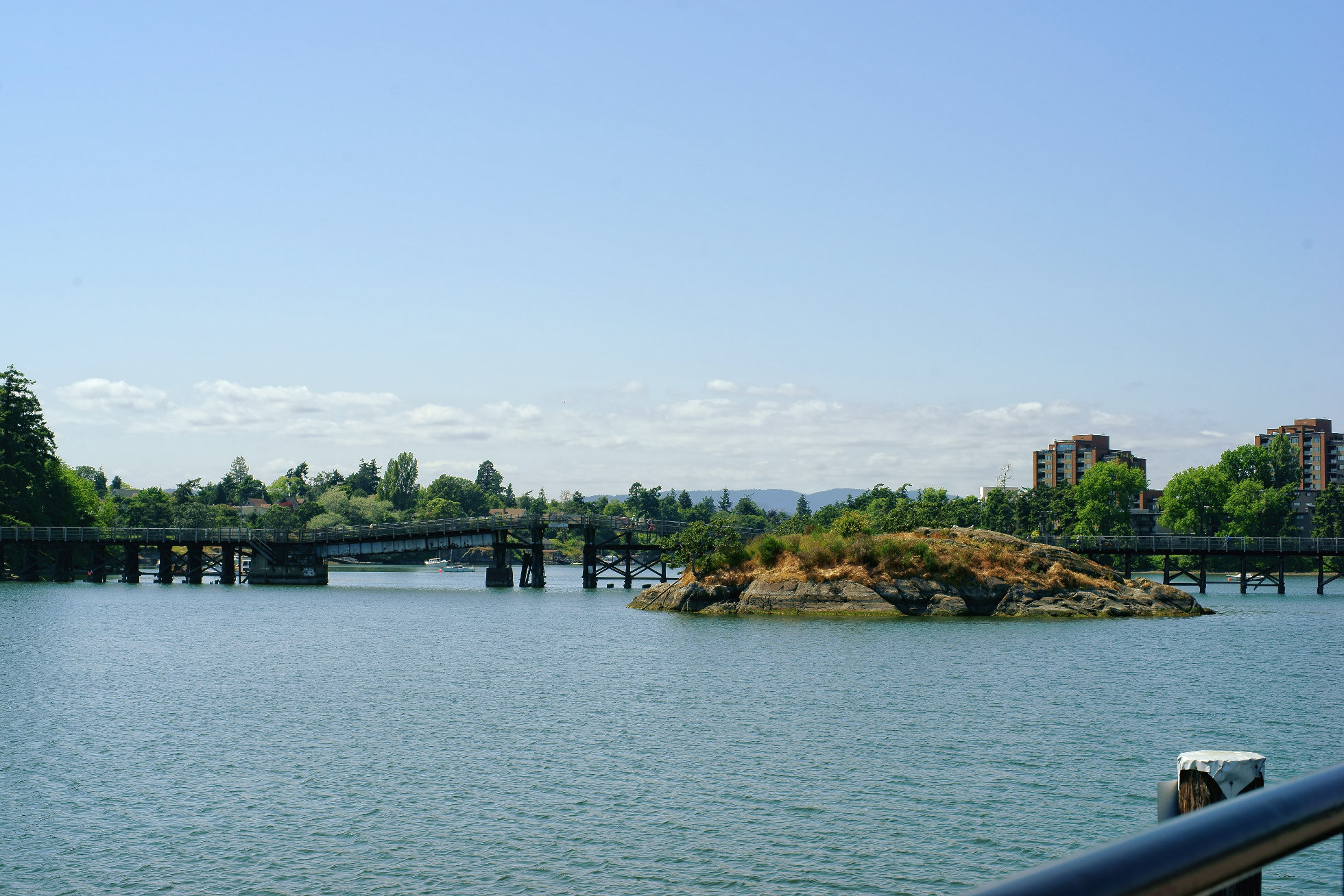
Halkett Island
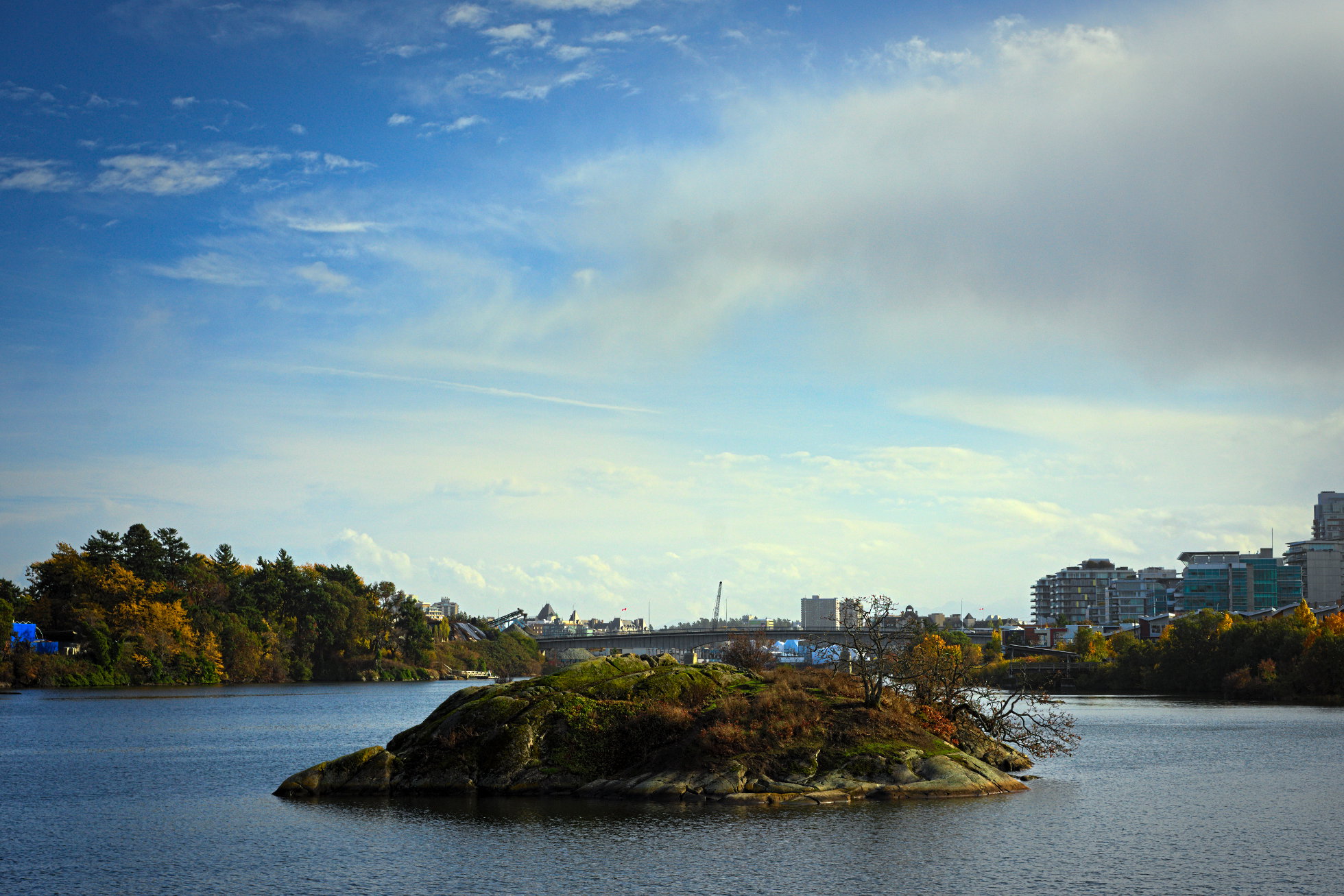
Towards the middle of the Selkirk Waters lies this small, rocky island. Local First Nations people often used such small islands for burials. The one pictured above is now called Halkett Island. A plaque on the Selkirk Walkway reads as follows:

In 1850, the "Island of the Dead" contained subsurface burials, but was mostly covered with small sheds, burial boxes and canoes containing human remains. The deceased were often placed in a fetal position and wrapped in a cedar bark mat. Adults were placed in a European-made, metal trimmed trunk and children were often placed in wooden cracker boxes.

Life sized carved wooden memorial figures representing prominent individuals were a common feature of burial locations.

The Lekwungen people, from the old Songhees reserve across the water, came to the island at twilight for feeding of the dead ceremonies. Sticks with chunks of sap were thrown into a fire to keep it blazing until midnight. Ritual words and chanting proceeded, as food to feed the dead was thrown into the fire.

Burials were no longer placed here after 1867, when a fire set by three Victoria boys got out of control and burned off the island. The boys' parents were heavily fined under the Indian Graves Protection Act. The island was taken away from the Songhees in 1924 by a Federal Indian Reserve Commission, but was restored to them by court order in 1993.

Joseph Pemberton, Victoria's most prolific early map maker, gave the name Halkett to the island in 1851. The Halketts were a well known, prominent British Navy family at the time.


(From a plaque placed on the shoreline near Halkett Island by the City of Victoria)

Tuesday, October 24, 2017

Autumn on the Gorge 2
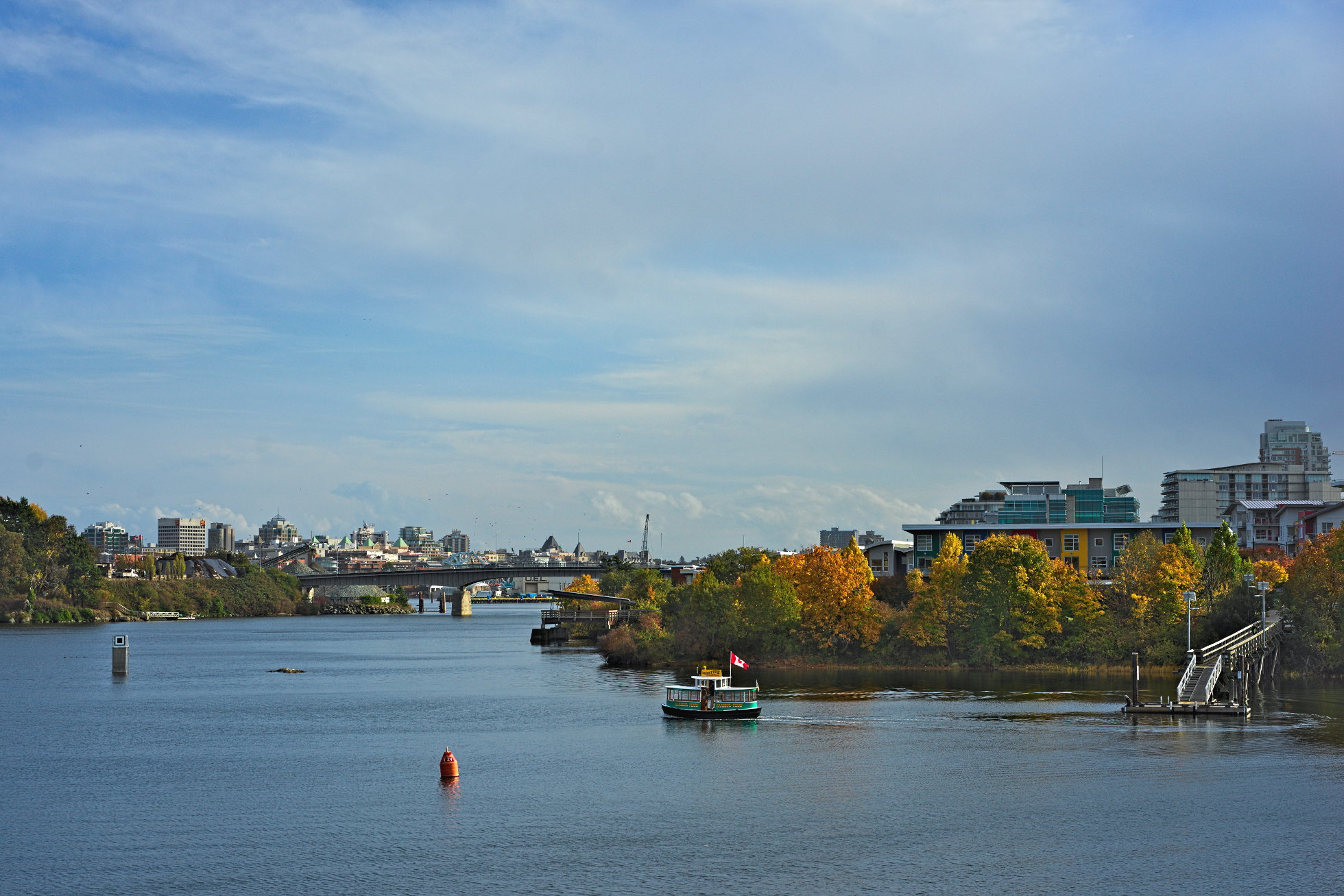
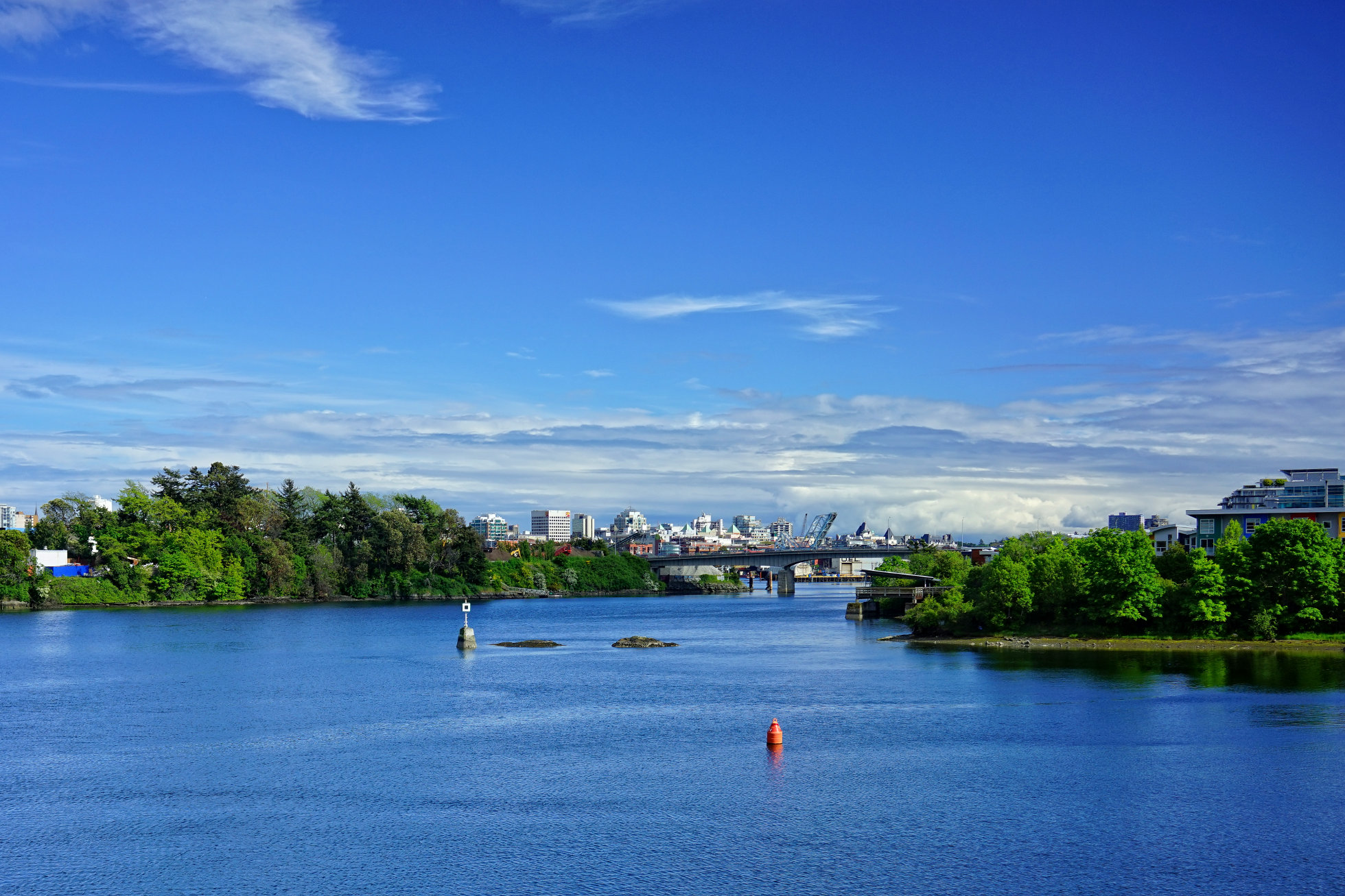
Like yesterday's photo, today's was taken from the Selkirk Trestle, but looking south towards the city.

Monday, October 23, 2017

Autumn on the Gorge
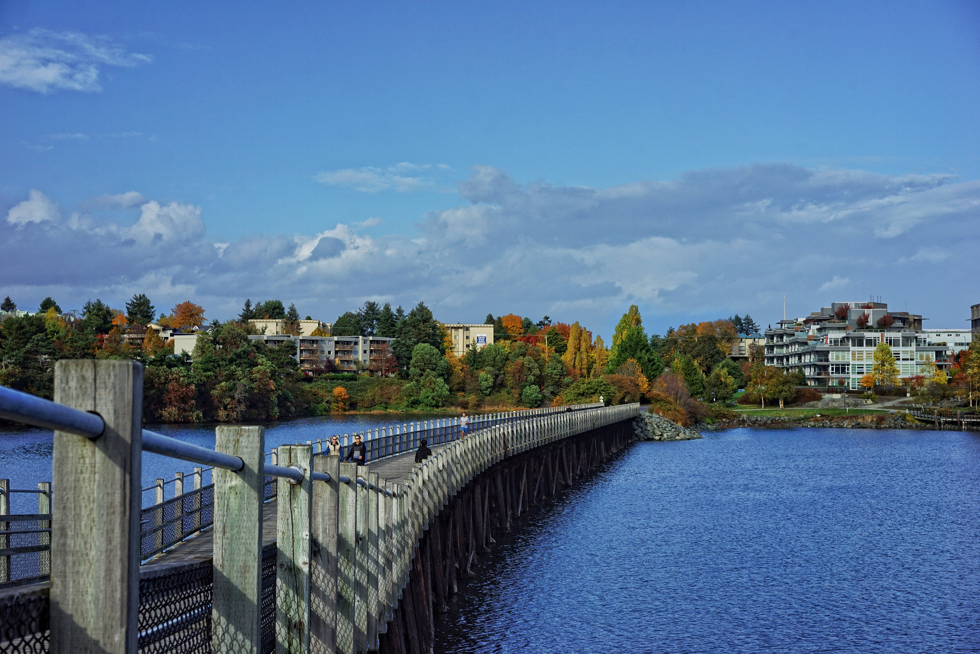
Many of the trees along the water's edge of the Gorge are turning now. I took this photo near the center of the Selkirk Trestle, an old railroad bridge that has been repurposed as part of the Galloping Goose trail for walkers and cyclists.

Wednesday, August 23, 2017

Glo Restaurant & Lounge
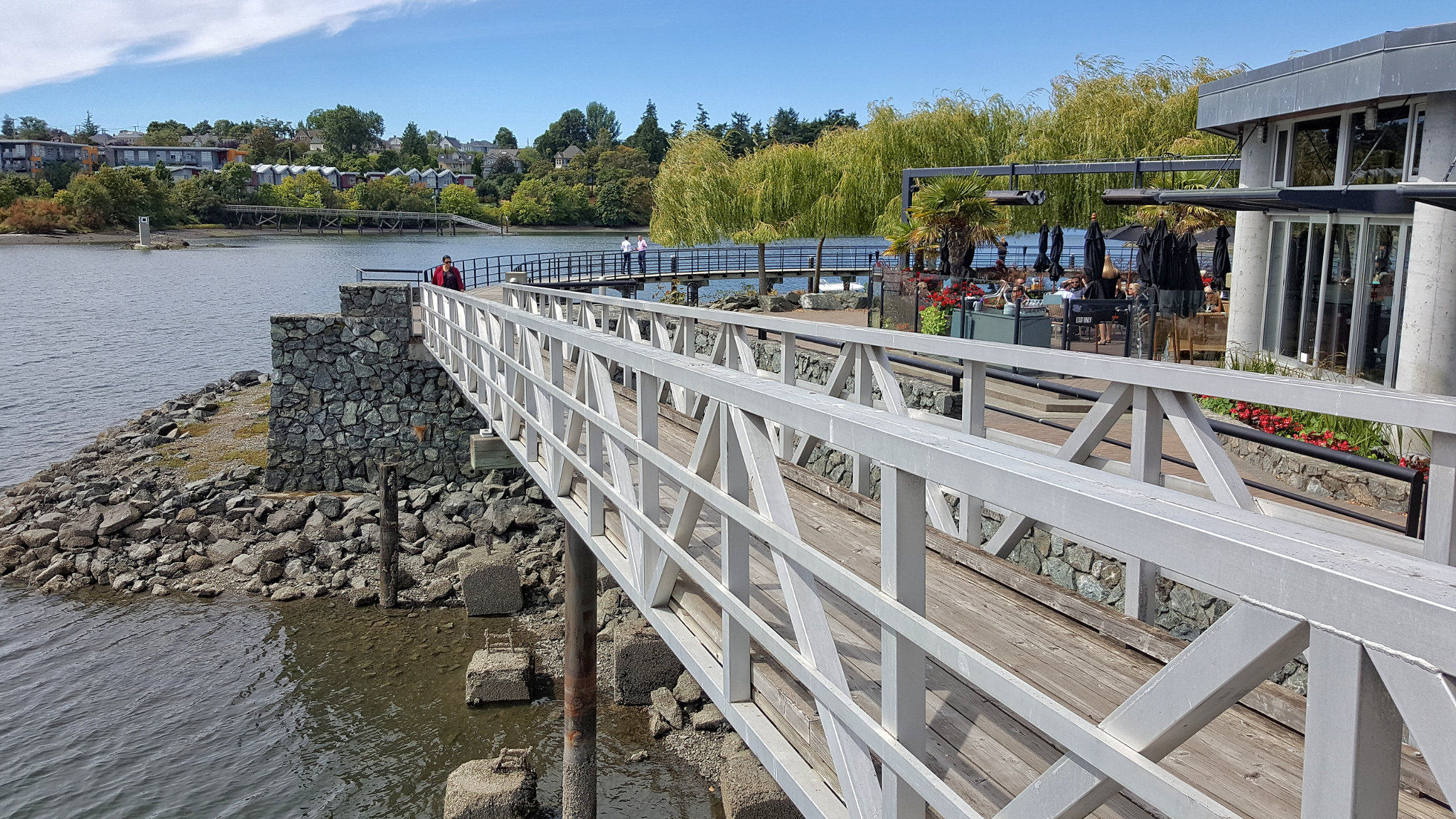
Glo Restaurant & Lounge outdoor seating is visible in the photo above on the upper right. I had lunch there today - absolutely delicious. Great vegetarian fare and my carnivorous companions both were happy with their non-vegetarian meals. I recommend it highly. Everything about this place is good - the location, the service and the food. It's built on the edge of the Selkirk Waters, near the Selkirk Trestle that crosses the Gorge. Across the water you can see the Railyards condominium development in Vic West.

Monday, May 15, 2017

Southward

Probably the main cycle trail on Southern Vancouver Island is the Galloping Goose (named after the rail line it follows through much of its length). It crosses the Gorge (an inland arm of the Harbour) over an old re-purposed train trestle, from the centre of which the above view of the city invites contemplation. That's the Bay Street (or Point Ellice) Bridge in the foreground and (if you've got sharp eyes or click the photo to enlarge it) you can see the Johnson Street Bridge further back. The latter is open to allow some marine traffic to pass.

Saturday, July 16, 2016

The Gorge

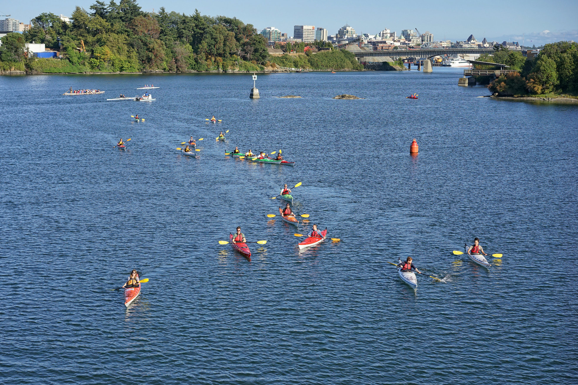
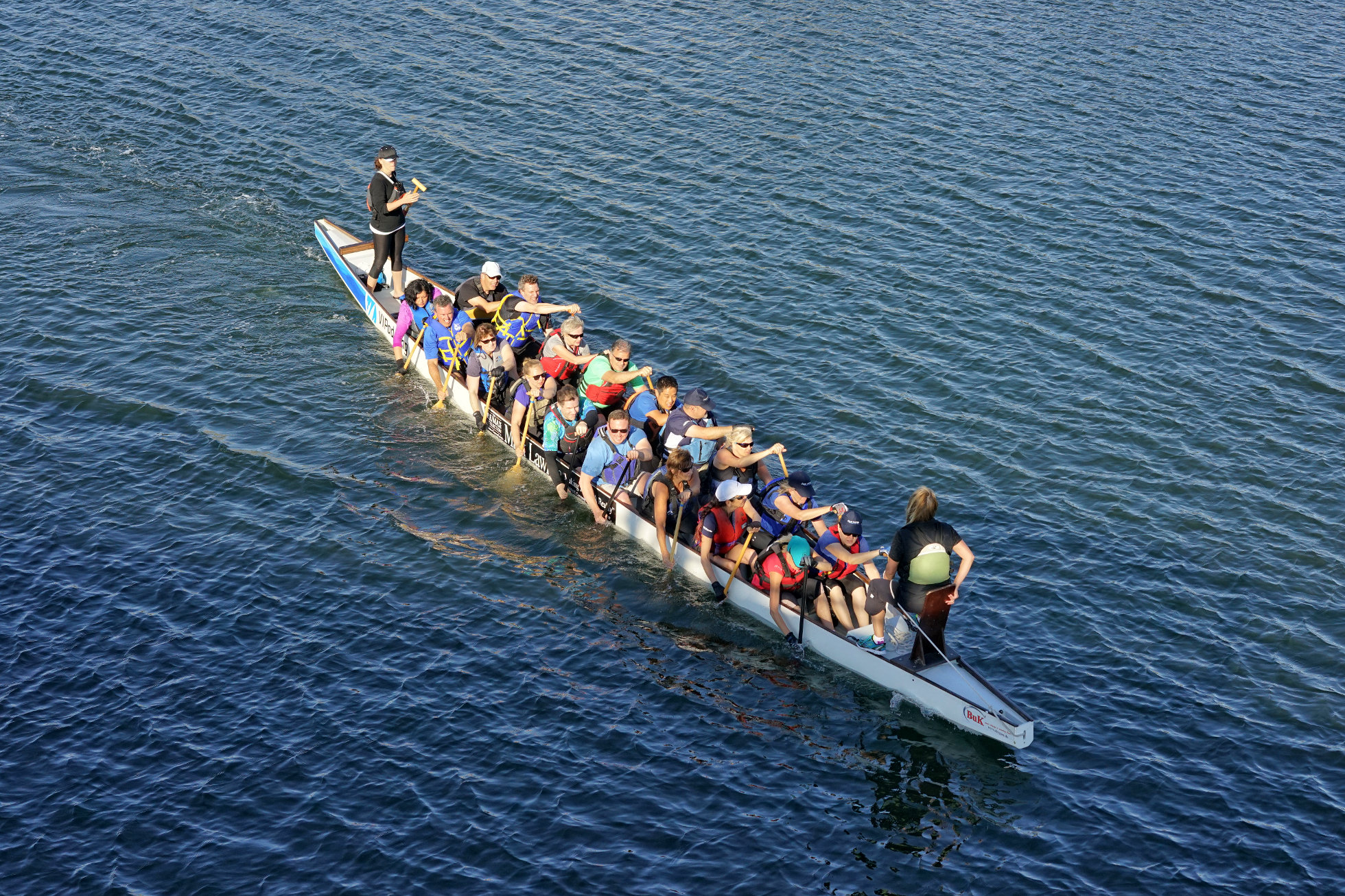
One of the nicest aspects of living in Victoria is the waterway known as The Gorge. Thanks to the Gorge, Victoria is not only surrounded by water but is penetrated by it so that no matter where you live in the city you are never more than a few minutes away from the sea. As you can judge by the photo above, many people take advantage of the sheltered waters of The Gorge to paddle around in a wide variety of boats. Many prefer to go it alone or in pairs in kayaks but there are many other who prefer to do it in groups, as in the photo below. Big canoe groups like this are probably practicing for the Dragon Boat Races, coming up in early August.

Monday, July 4, 2016

Canada Day on The Gorge - Canoe Rides
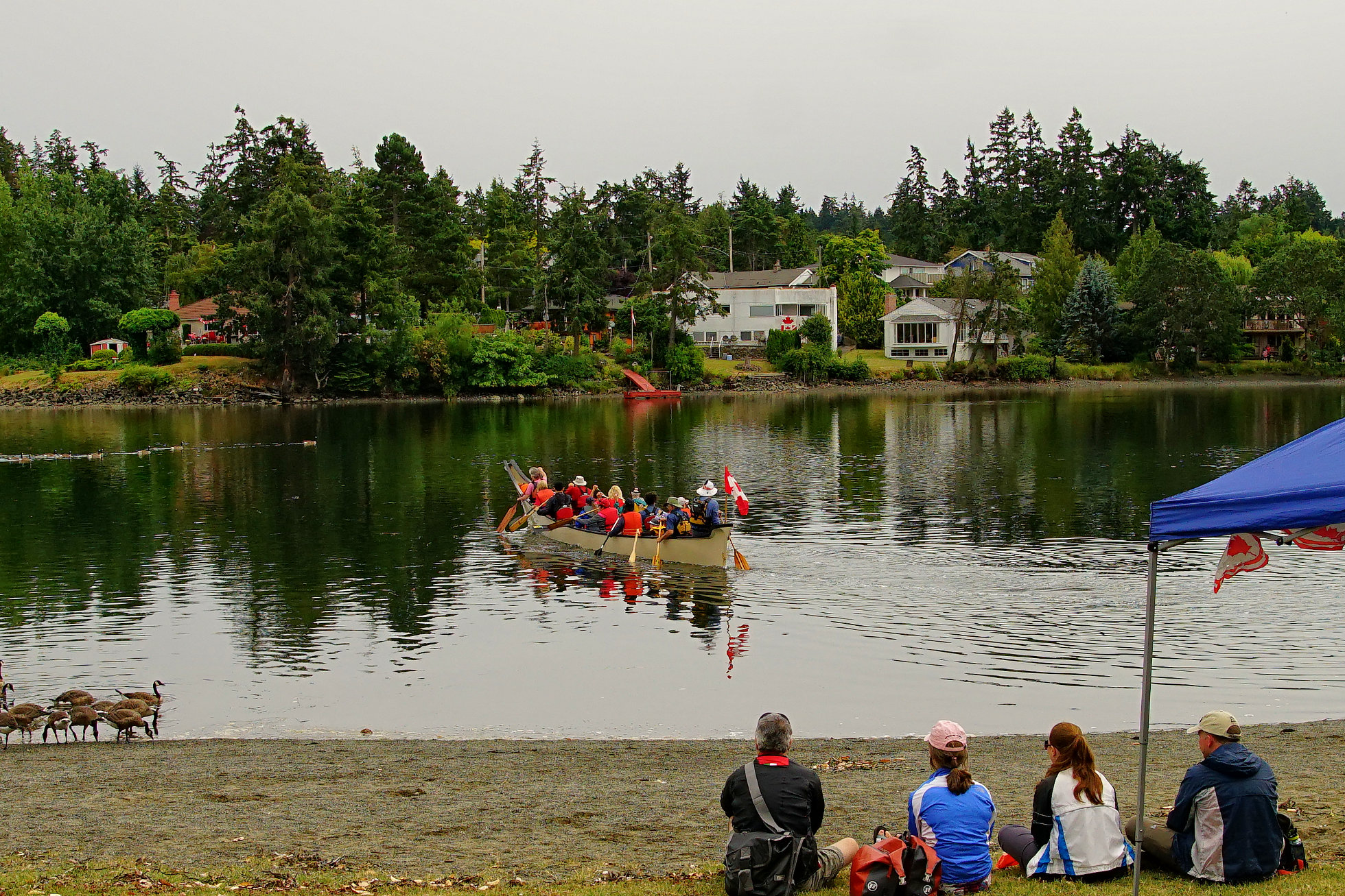
If you ever wanted to know what it was like to paddle in a traditional style canoe you had a chance on July 1st. Canoe rides were available to the public for a mere $2 and there were lots of takers.

Saturday, July 2, 2016

Canada Day on The Gorge
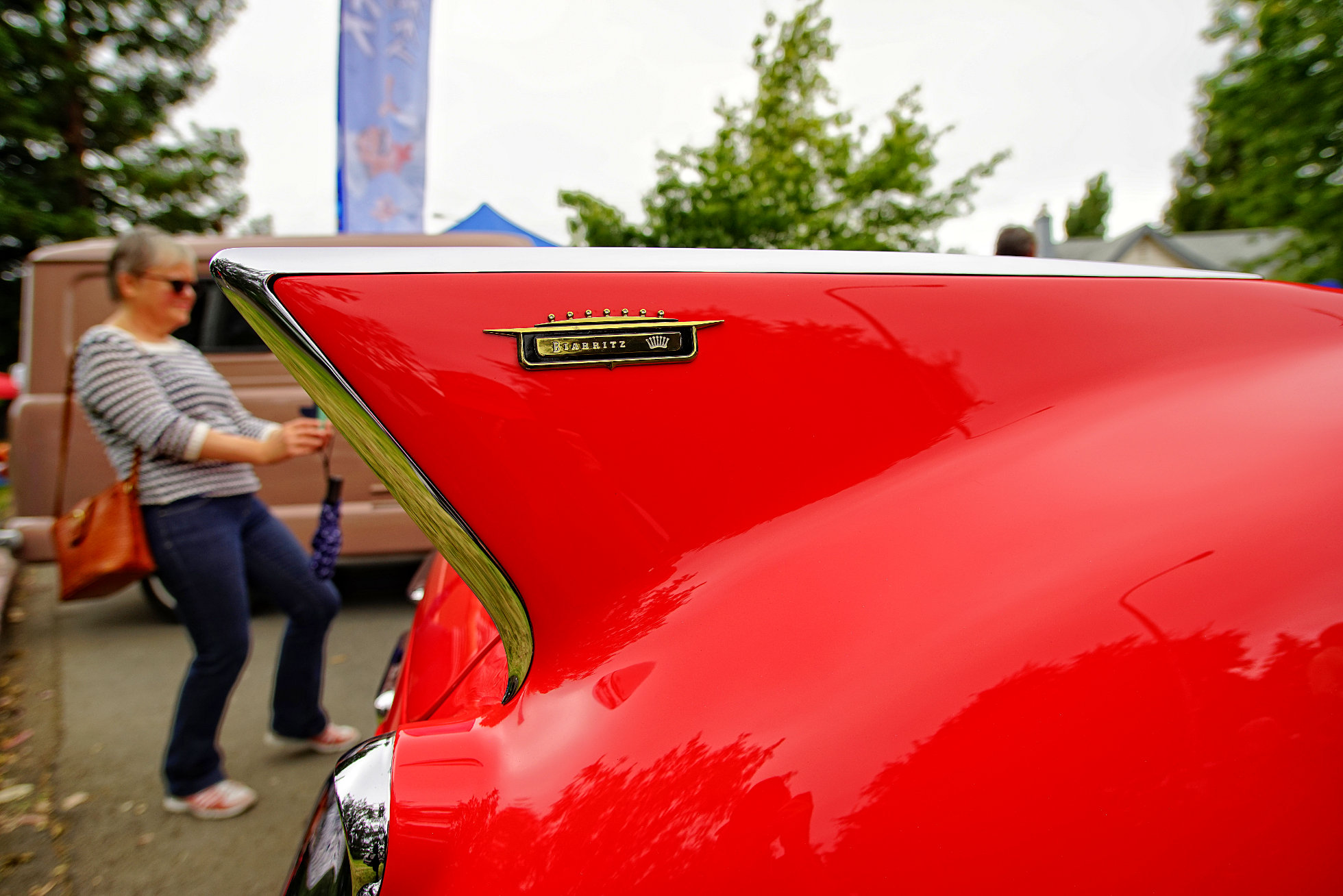
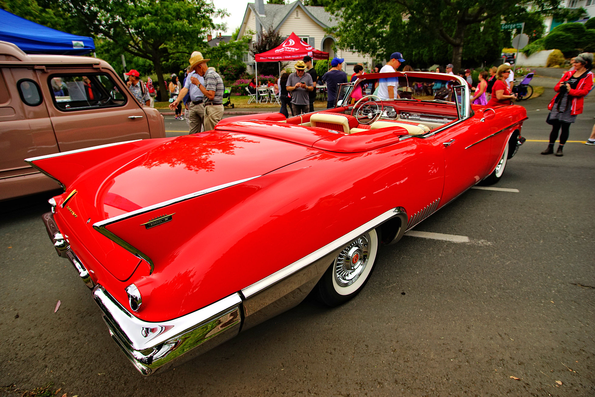
Hands up everyone who recognized this car from the picture above? Yes, you're right, it is a splendidly sumptuous 1958 Cadillac Eldorado Biarritz Convertible, a car with no environmental conscience whatsoever but a thing of beauty nonetheless. Love those tail fins! It was one of many immaculately restored classic cars on display on Canada Day on the Gorge. There were lots of other interesting things to see and do there on Canada Day and we'll have a look at some next week.
I was curious as to how much a car like this is worth nowadays - online I found an identical car sold at auction in 2012 for $88,000 - probably 2 or 3 times the original price!
Wednesday, October 7, 2015

Autumn 2
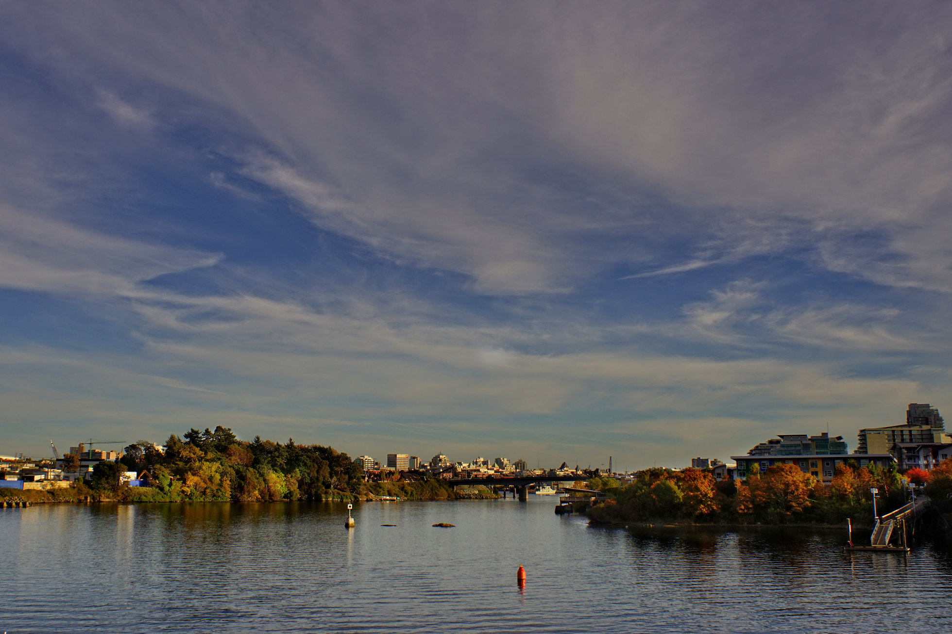
Yesterday's photo was taken looking northwest up the Gorge. In the above photo we are looking south down the Gorge towards downtown, visible beyond the Bay Street (Point Ellice) Bridge.

Tuesday, October 6, 2015

Autumn

We're still having lovely warm, sunny days but there's a nip in the air in the mornings and as this photo of the Gorge shows, autumn colors are tinting the landscape.

Sunday, October 4, 2015

Row Row Row Your Boat...


On a beautiful sunny Sunday morning there are many many people out in all kinds of boats on the Gorge Waterway. It looks like such fun. - Fern

Wednesday, June 3, 2015

Bay Street Bridge and Point Ellice
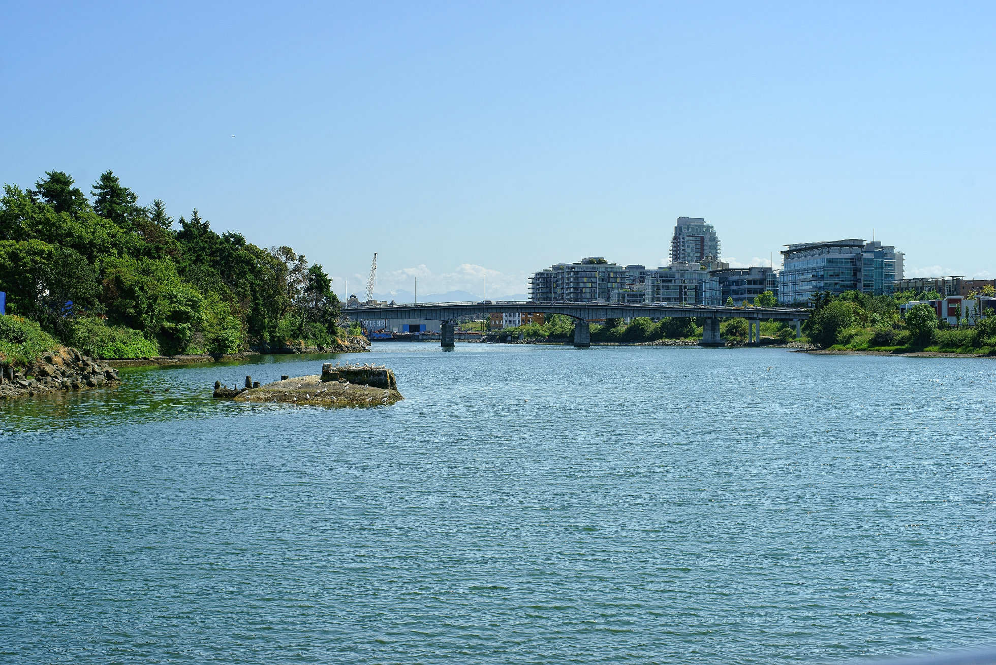
Yesterday's photo was taken looking up the Gorge towards the northeast. Today's photo was taken in the opposite direction looking down the Gorge towards the Bay Street Bridge. Most of the buildings on the right beyond the bridge are the Dockside Green development. The treed area on the left is Point Ellice, where the O'Reilly house is located. It's a great spot to visit and we'll have a look at it sometime in the next few days.

Tuesday, June 2, 2015

Halkett Island

Local Native Peoples used small islands for burials. The one pictured above is now called Halkett Island. A plaque on the Selkirk Walkway reads as follows:
In 1850, the "Island of the Dead" contained subsurface burials, but was mostly covered with small sheds, burial boxes and canoes containing human remains. The deceased were often placed in a fetal position and wrapped in a cedar bark mat. Adults were placed in a European-made, metal trimmed trunk and children were often placed in wooden cracker boxes.

Life sized carved wooden memorial figures representing prominent individuals were a common feature of burial locations.

The Lekwungen people, from the old Songhees reserve across the water, came to the island at twilight for feeding of the dead ceremonies. Sticks with chunks of sap were thrown into a fire to keep it blazing until midnight. Ritual words and chanting proceeded, as food to feed the dead was thrown into the fire.

Burials were no longer placed here after 1867, when a fire set by three Victoria boys got out of control and burned off the island. The boys' parents were heavily fined under the Indian Graves Protection Act. The island was taken away from the Songhees in 1924 by a Federal Indian Reserve Commission, but was restored to them by court order in 1993.

Joseph Pemberton, Victoria's most prolific early map maker, gave the name Halkett to the island in 1851. The Halketts were a well known, prominent British Navy family at the time.

(From a plaque placed on the shoreline near Halkett Island by the City of Victoria)

Monday, December 29, 2014

Up and Down the Gorge
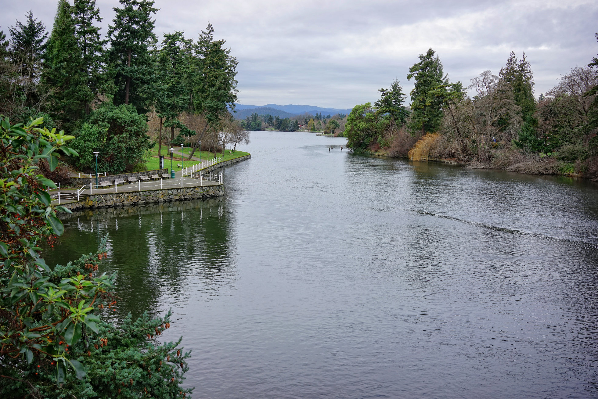
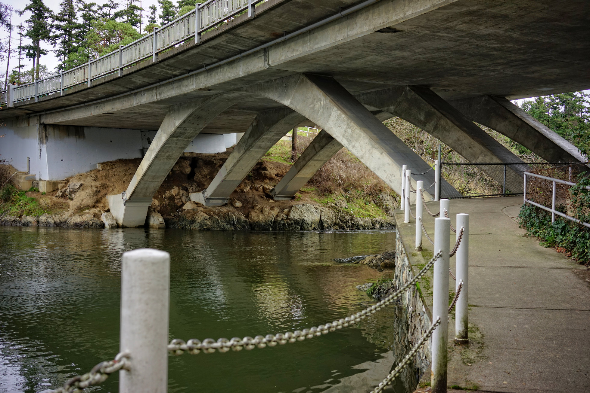
Above is the view you see if you stand on the bridge pictured yesterday and look up the Gorge westward. On the left bank is Gorge Park. Below is the view from beneath the bridge looking down the Gorge eastward towards the Selkirk Waters.

Saturday, December 27, 2014

Tillicum Bridge
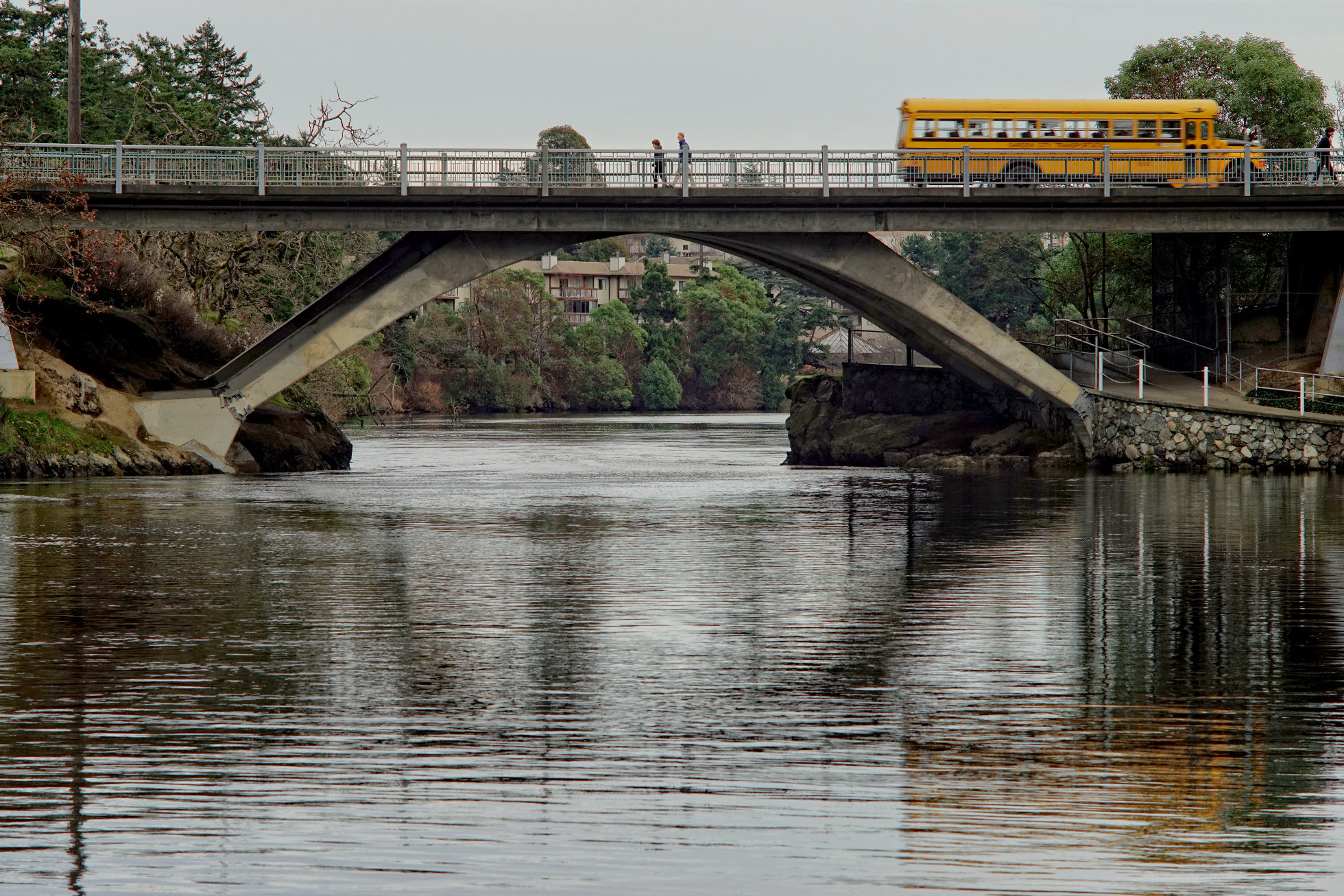
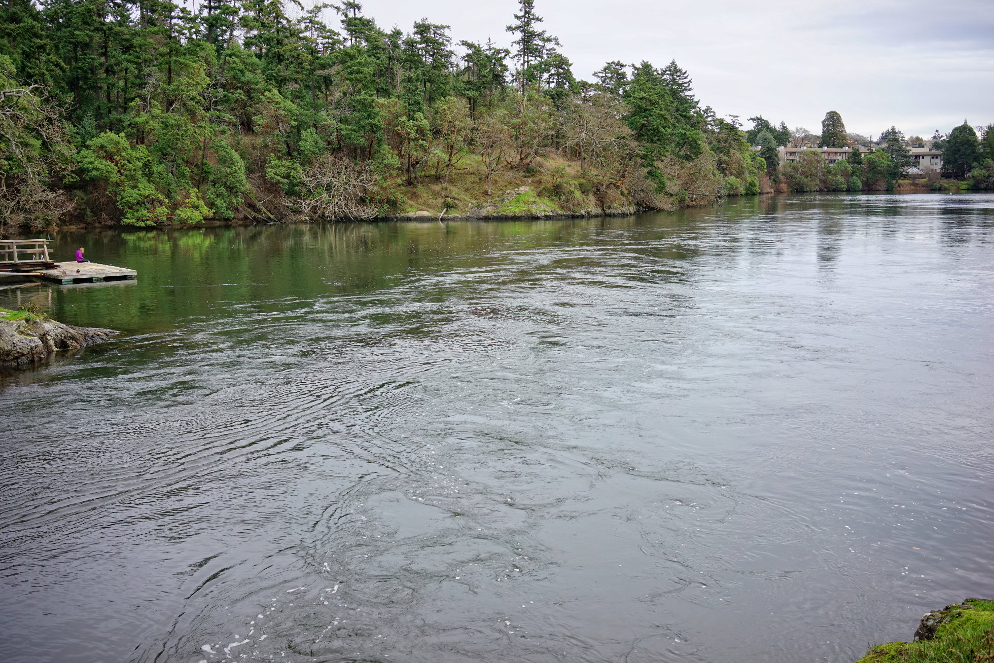
The Gorge is bridged in a number of places but its narrowest width is crossed by the Tillicum Bridge pictured above and below. The Gorge here is very narrow. The direction of water flow changes with the tide and it is sometimes called "reversing falls" and has a very strong current here. Protected in a fenced off area to the right beneath the bridge is large midden - the refuse of many centuries of shellfish harvesting here by First Nations People.

Thursday, December 11, 2014

Upper Harbour
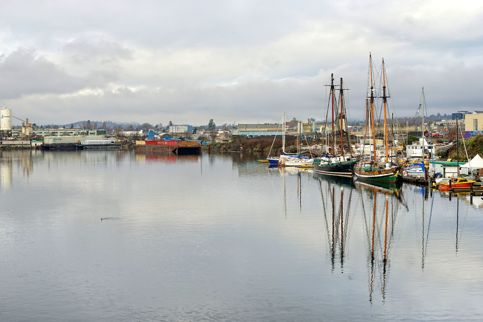
This is a view of the upper harbour that lies between the Johnson Street Bridge and the Bay Street (Point Ellice) Bridge. On the right we can see the two tall ships of S.A.L.T.S. (The Sail and Life Training Society), a charitable organization that works with young people. In the distance is Rock Bay and Victoria's small industrial area. Out of sight on the left bank is a dry dock where all sorts of ship repairs are undertaken. When Victoria is spoken of as being a "working harbour" this upper harbour area is what is being referred to.

Saturday, November 1, 2014

Selkirk Trestle 3 - Looking Northwest
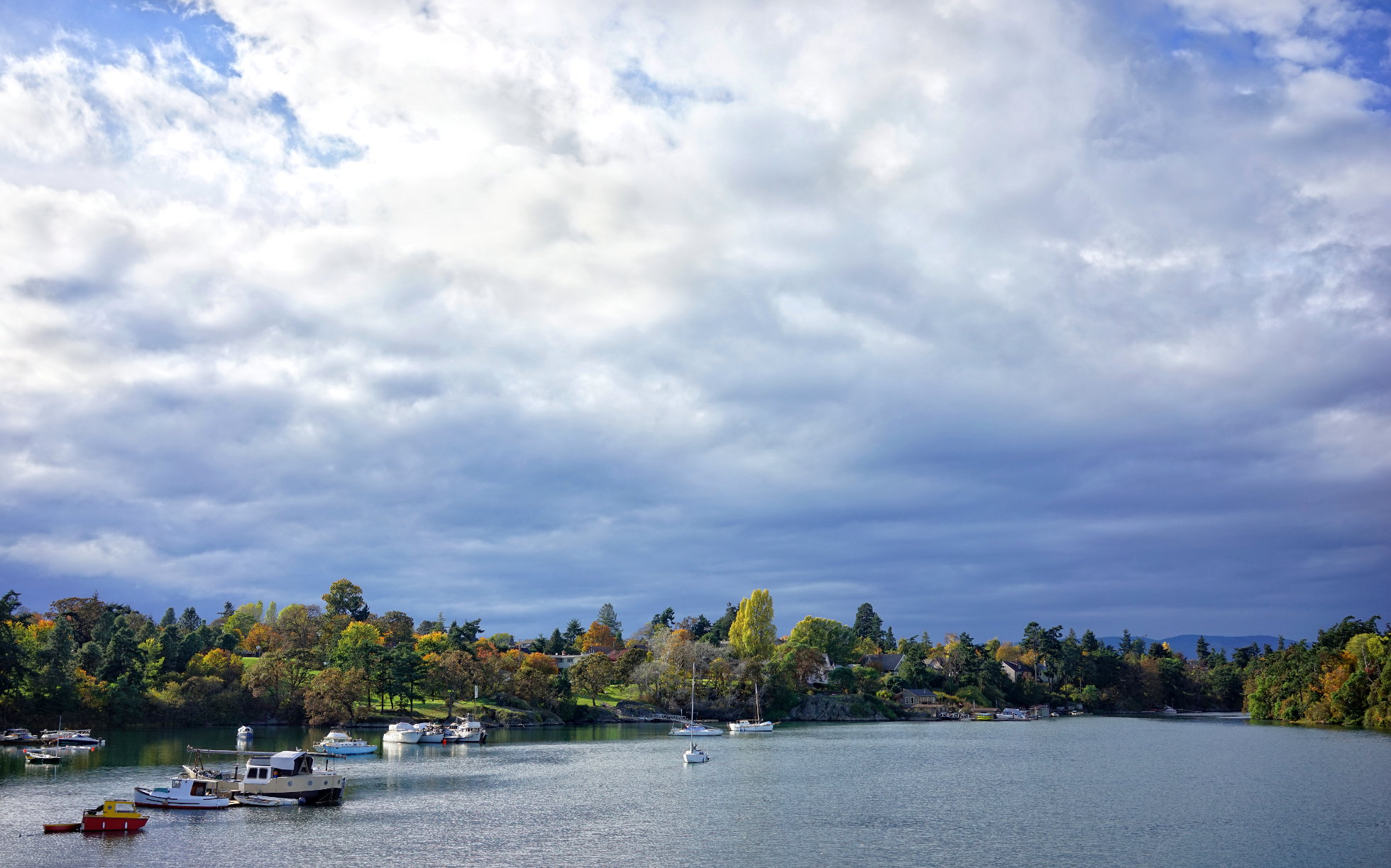
Here is the view from the middle of the Selkirk Trestle looking up The Gorge north and west. On the left the green lawns and trees are part of Banfield Park where the Vic West Community Centre is located. Just beyond where The Gorge curves out of sight on the right is the Tillicum Bridge where The Gorge narrows in width to only a few meters and gives rise to a waterfall that reverses direction depending on the tidal flow. Below is the same view taken from a little closer to the southern shore of the Gorge.

Friday, October 31, 2014

Selkirk Trestle 2 - Looking Southeast
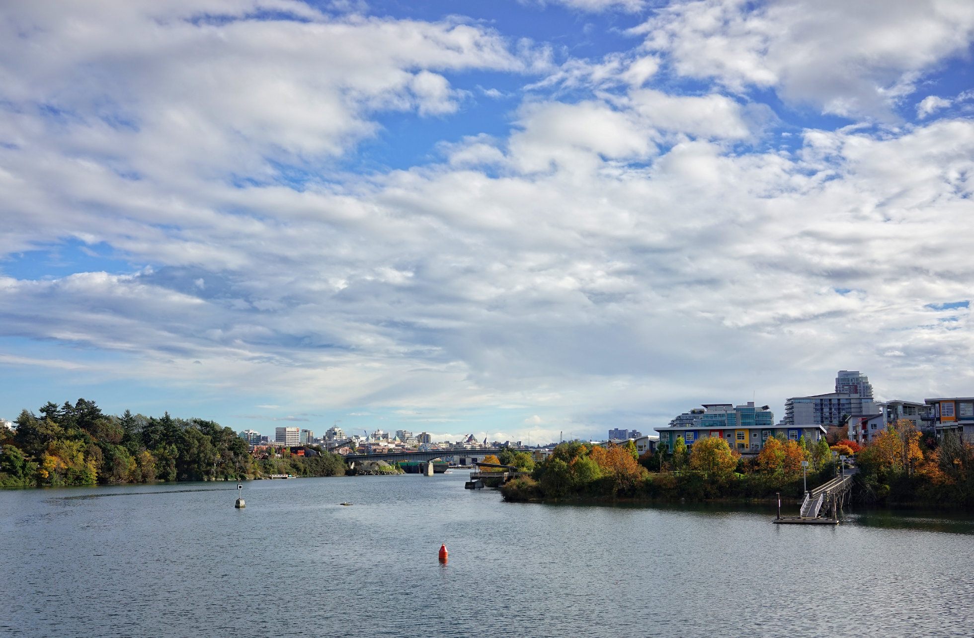
Here is the view from the middle of the Selkirk Trestle looking south towards the city centre. The green area on the left is Point Ellice, with the Point Ellice (Bay Street) Bridge visible closer to the centre of the photo. On the right, just behind the trees is the Railyards condominium development with the Dockside Green development behind it.

Thursday, October 30, 2014

Selkirk Trestle 1 - Looking North

One of the most distinctive features of Victoria is the body of water called The Gorge. I've mentioned before that no matter where you are in the city you are never far from the water. One reason for this is that the city is located on the pointed tip of Vancouver island and so is bounded by the Pacific Ocean on the east, south and west. The Gorge is another reason we are always close to water. It is a long finger of the ocean (6 kilometers from the Selkirk Trestle to Portage Inlet) that penetrates the city and adjacent municipalities and provides a great deal more shoreline. Where I live in Vic West, for instance, is only a few minutes walk southwards to the Songhees and West Bay Walkways that skirt the Inner Harbour. A few minutes walk north brings me to the shores of the Gorge. The Selkirk Trestle marks the eastern end of The Gorge where it widens and becomes Selkirk Water and then the Upper Harbour. It's called a trestle because it was originally built as a rail crossing for the Canadian National Railway that ran a line out to Sooke. That line carried a train called "The Galloping Goose" and the name has been carried over to the trail that now follows the rail right-of-way. Selkirk Trestle is part of that trail and is reserved for cyclists and pedestrians.