

Custom Search
Showing posts sorted by relevance for query macaulay point. Sort by date Show all posts
Showing posts sorted by relevance for query macaulay point. Sort by date Show all posts
Tuesday, January 13, 2015
Points


Friday, January 30, 2009
Macaulay Point III

Wednesday, November 5, 2014
Macaulay Point
Tuesday, May 16, 2017
Macaulay Point
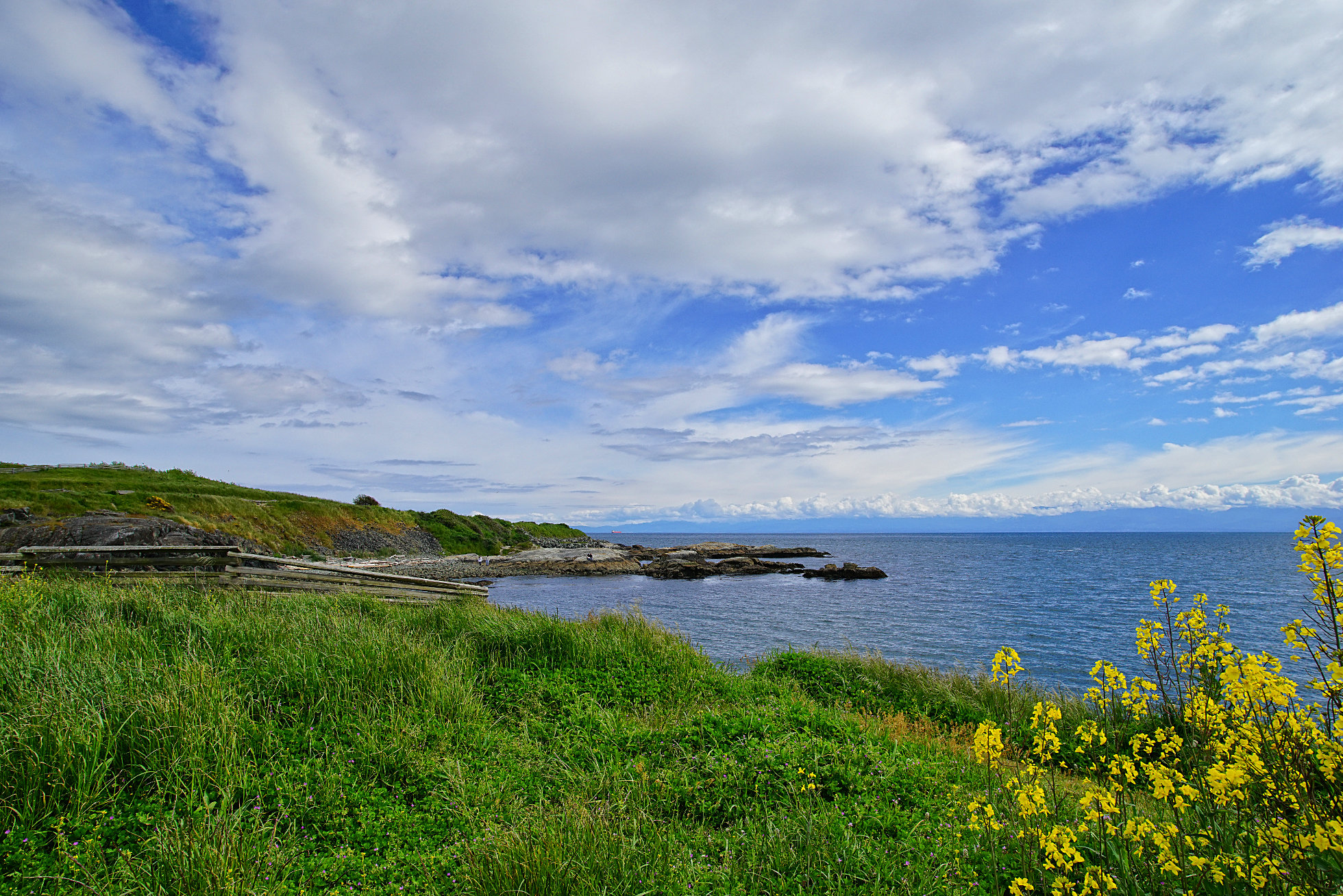
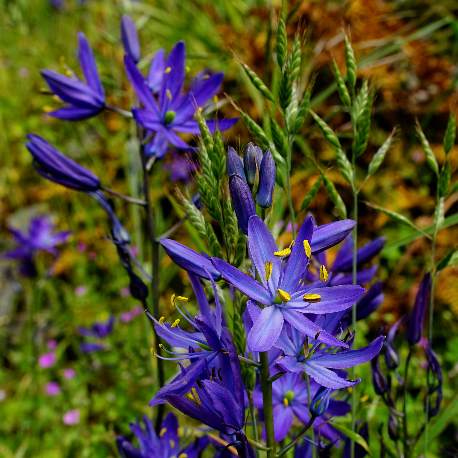 | The entrance to Victoria Harbour lies between two points, Ogden Point (where the cruise ships dock) marks the eastern side of the harbour entrance and Macaulay Point (above) marks the western side of the entrance. In the photo above we are looking at Macaulay Point from its western side. If we walked over the top of it we would see the harbour and the city spread out before us. I didn't go so far today because I got sidetracked by the rich profusion of Camas Lilies among the rocks. |
Thursday, April 8, 2010
Fleming Beach Rock Climbing and Boat Ramp

 | There are three parks I often visit along the Esquimalt shoreline of Greater Victoria: Macaulay Point, Fleming Beach, and Saxe Point. The first two are contiguous and are only separated from Saxe Point by small residential area. Fleming Beach is in the middle and as well as the Buxton Green picnic area and the breakwater visible in yesterday's photos, also features a large precipitous rock formation much used by local rock climbers for practice and a couple of docks where fishermen launch their boats for a day on the water. I often stop here and walk out on the dock because harbour seals seem to like this little cove and swim around and under the dock. Despite their proximity, the three parks have very different characters. Macaulay Point has its military gun emplacements scattered through dense thickets of low bush and very few trees. Fleming Beach is all about the rocks and the docks. Saxe Point is quite thickly forested with some very large trees though it also contains a nice little piece of Garry Oak ecosystem. |
Thursday, January 2, 2014
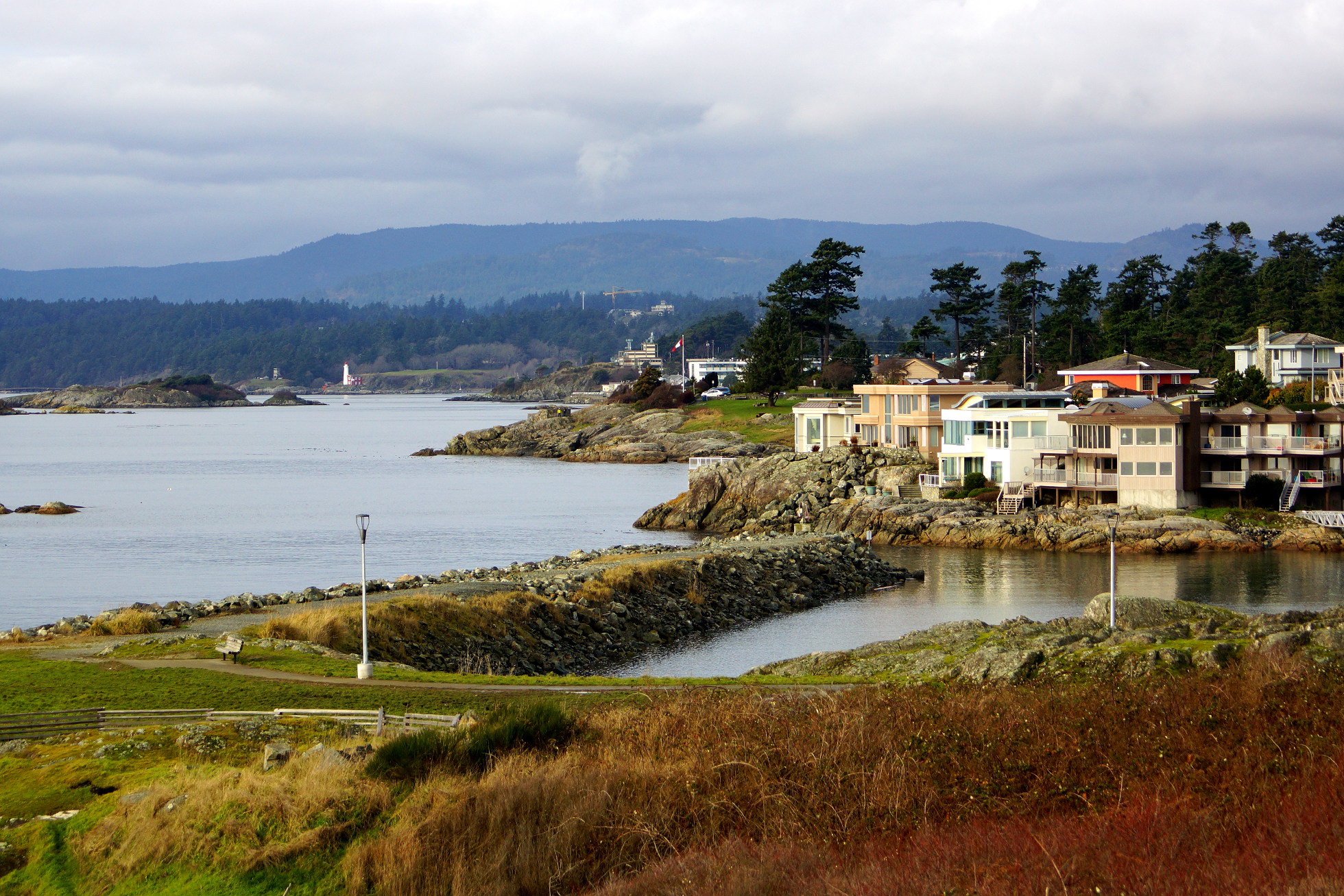
Looking Westward
Friday, October 16, 2009
Macaulay Point Autumn
 Sorry gang - I'm having a busy day again so here's a photo from a few weeks ago when I went out to Macaulay Point. I like the colors in this, the leaves, the grass and the bright red old military building, one of several on this old point of coastal defense.
Wednesday, January 27, 2010
Gray Day
 I went out to Macaulay Point today to see if I could spy some different kinds of birds. Tomorrow I'll post a few photos of what I saw but to set the scene here's what it was like today looking from Macaulay Point in Esquimalt across the Strait of Juan de Fuca towards the Olympic Peninsula. (For those not from this part of the world: those mountains are in the USA. The rocks in the foreground are in Canada.)
Thursday, February 12, 2009
Hanging by a thread at 500 meters....
 Did I say 500 meters? It's more like 5 meters as you can see in the photo to the right but I'd much prefer to learn rock-climbing like the young man pictured here, relatively close to the ground. In fact, I'd rather not learn rock-climbing at all and will happily leave it to younger more daring people. I am posting this photo because I mentioned in an earlier post on Fleming Beach that it has a rock face much favored by rock-climbing enthusiasts for training. I must confess also to a growing fondness for this Fleming Beach and Macaulay Point area. These are very quiet parks mostly used by locals to enjoy the splendid rocky seascapes. In the photo below, you can see the rock face and just below it in the center of the photo is the tiny Fleming Beach. To the right of the beach, the green fenced picnic area is called Buxton Green. The hill above the green is the Macaulay Point gun emplacements pictured in another earlier post.


Tuesday, October 3, 2017
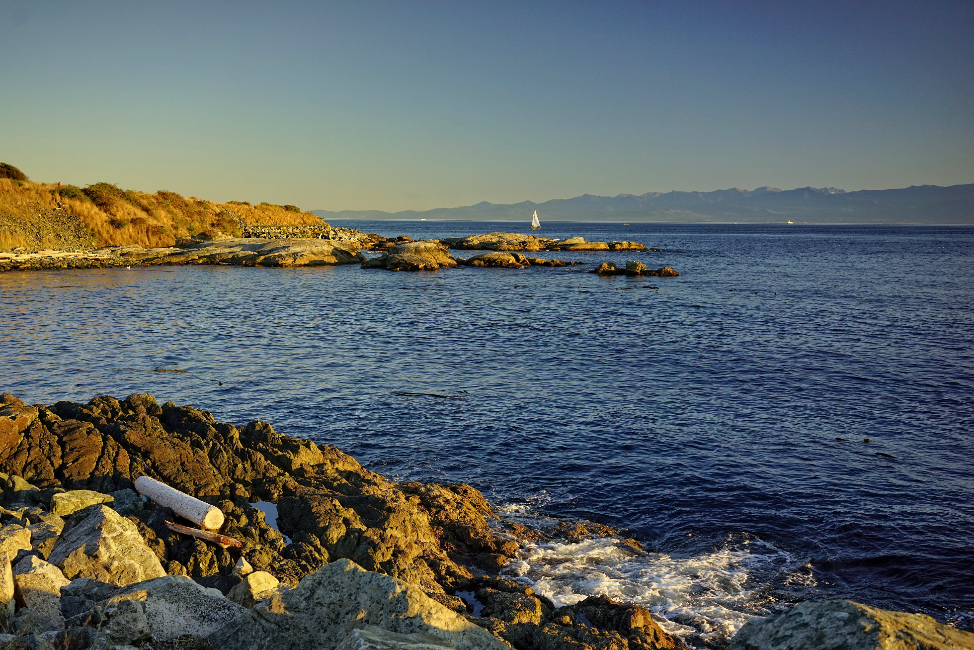
Macaulay Point Sunset
Tuesday, January 27, 2009
Macaulay Point

Friday, October 9, 2009
Lookout
 Here's another image from a recent visit to Macaulay Point. There's lots of old military structures there (as earlier posted) and here's another, the lookout on top of the hill. I have posted photos in the past that I took from up there.
Tuesday, January 20, 2009
Craigflower School

The Craigflower Schoolhouse (originally called Maple Point School), the oldest surviving school building in Western Canada, was built on orders from Kenneth MacKenzie. He came from Scotland with his family in 1852 to establish a farm for the Puget Sound Agricultural Company, a subsidiary of the Hudson's Bay Company.Tomorrow we'll have a closer look at the schoolhouse and at nearby Craigflower Manor, home to many of the children who attended this school.
A school was needed for the children of farm employees, as well as those of arriving settlers. The school was started to be built on August 21, 1854 and was completed February 23, 1855. Lumber and foundation bricks were produced at Craigflower Farm across the Gorge. Glass, hardware, and large bricks were imported from England. Total cost was about $4300.
The two-storey building had one schoolroom, and six rooms for the teacher, his family and student boarders from the western communities. The school opened in March, 1855. That same week a ship's bell from the steamer Major Tompkins, that wrecked off Macaulay Point, was hung in the yard. The first Craigflower bridge was built the next winter linking the school to the Craigflower settlement. The building became a focal point for social and religious events. It was used as a school until 1911, when the new Craigflower School was built across the road (superceded by a third building in 1964).
The old school was vacant until it was converted to a museum which the Native Sons and Daughters of British Columbia ran from 1931 until 1975. The provincial Historic Parks and Sites Branch then acquired the property, restored it and reopened it as a museum too.
This simple structure is side-gabled and has brick chimneys both ends. There is a large fireplace in the schoolroom and another in the teacher's quarters. The fourteen-inch-thick walls are composed of sawn clapboard siding applied to diagonal sheathing over standard Hudson's Bay Company log construction. Hewn horizontal logs were slid down from the top between vertical uprights, the joists hewn and sawn, and the roof timbers sawn. The building was set on a concrete foundation in 1929. (From http://www.waymarking.com/waymarks/WM2YHA)

Sunday, January 25, 2009
Saxe Point Park

I've been too busy lately to respond properly to all the kind comments left by visitors. I hope to remedy this over the next few days and hope everyone will bear with me and forgive my lack of response. Your visits and comments are very much valued.
My special thanks to Murcia Daily Photo for giving me an award. It's a very interesting City Daily Photo Blog from Spain, well worth putting on your list of sites to visit regularly.
Wednesday, July 29, 2015
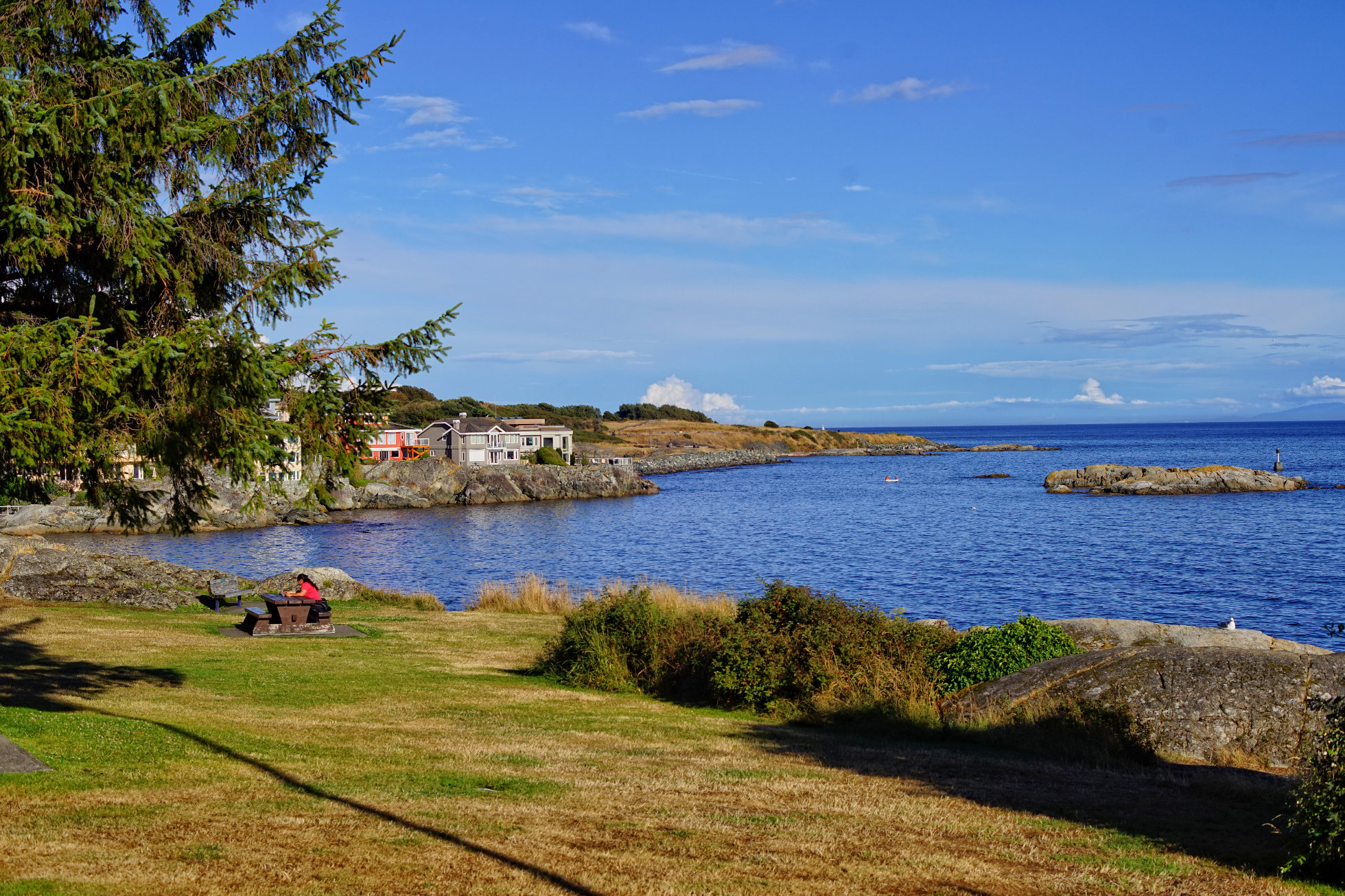
One more from Saxe Point Park
Tuesday, December 28, 2010
Postcard

Thursday, January 29, 2009
Fleming Beach


Tuesday, January 14, 2014
Fisgard Lighthouse

Friday, October 29, 2010
Telephoto Fun


Wednesday, January 1, 2014
Skyline

Subscribe to:
Posts (Atom)
