Custom Search
Showing posts with label Selkirk Waters. Show all posts

Wednesday, October 25, 2017

Halkett Island

Towards the middle of the Selkirk Waters lies this small, rocky island. Local First Nations people often used such small islands for burials. The one pictured above is now called Halkett Island. A plaque on the Selkirk Walkway reads as follows:

In 1850, the "Island of the Dead" contained subsurface burials, but was mostly covered with small sheds, burial boxes and canoes containing human remains. The deceased were often placed in a fetal position and wrapped in a cedar bark mat. Adults were placed in a European-made, metal trimmed trunk and children were often placed in wooden cracker boxes.

Life sized carved wooden memorial figures representing prominent individuals were a common feature of burial locations.

The Lekwungen people, from the old Songhees reserve across the water, came to the island at twilight for feeding of the dead ceremonies. Sticks with chunks of sap were thrown into a fire to keep it blazing until midnight. Ritual words and chanting proceeded, as food to feed the dead was thrown into the fire.

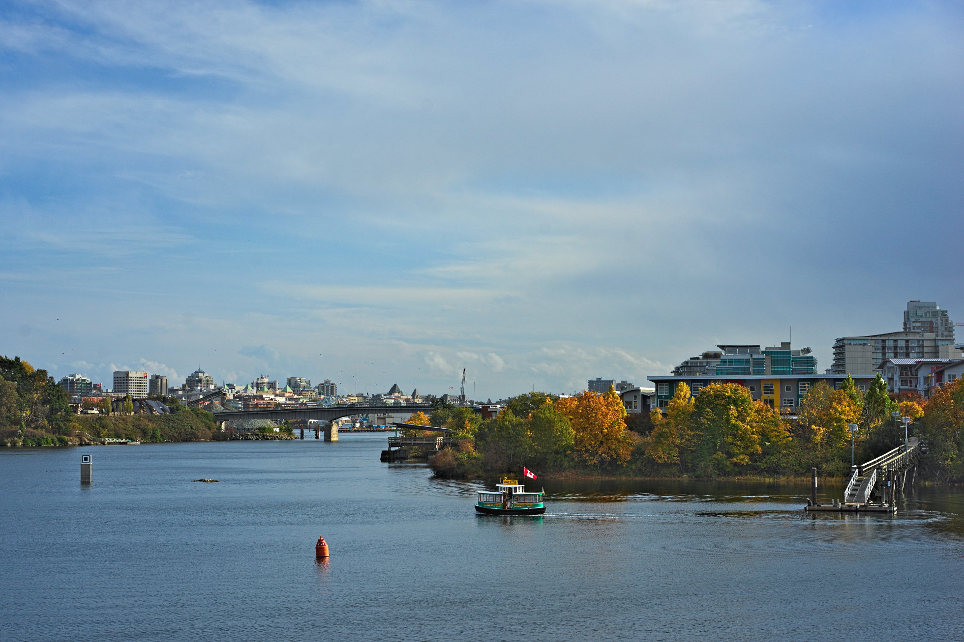
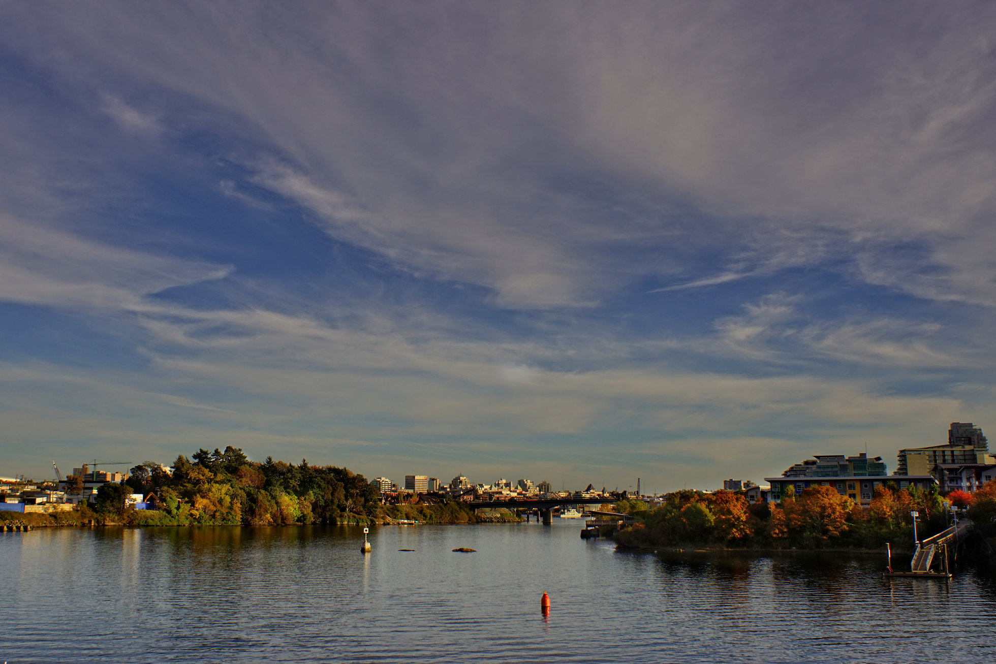
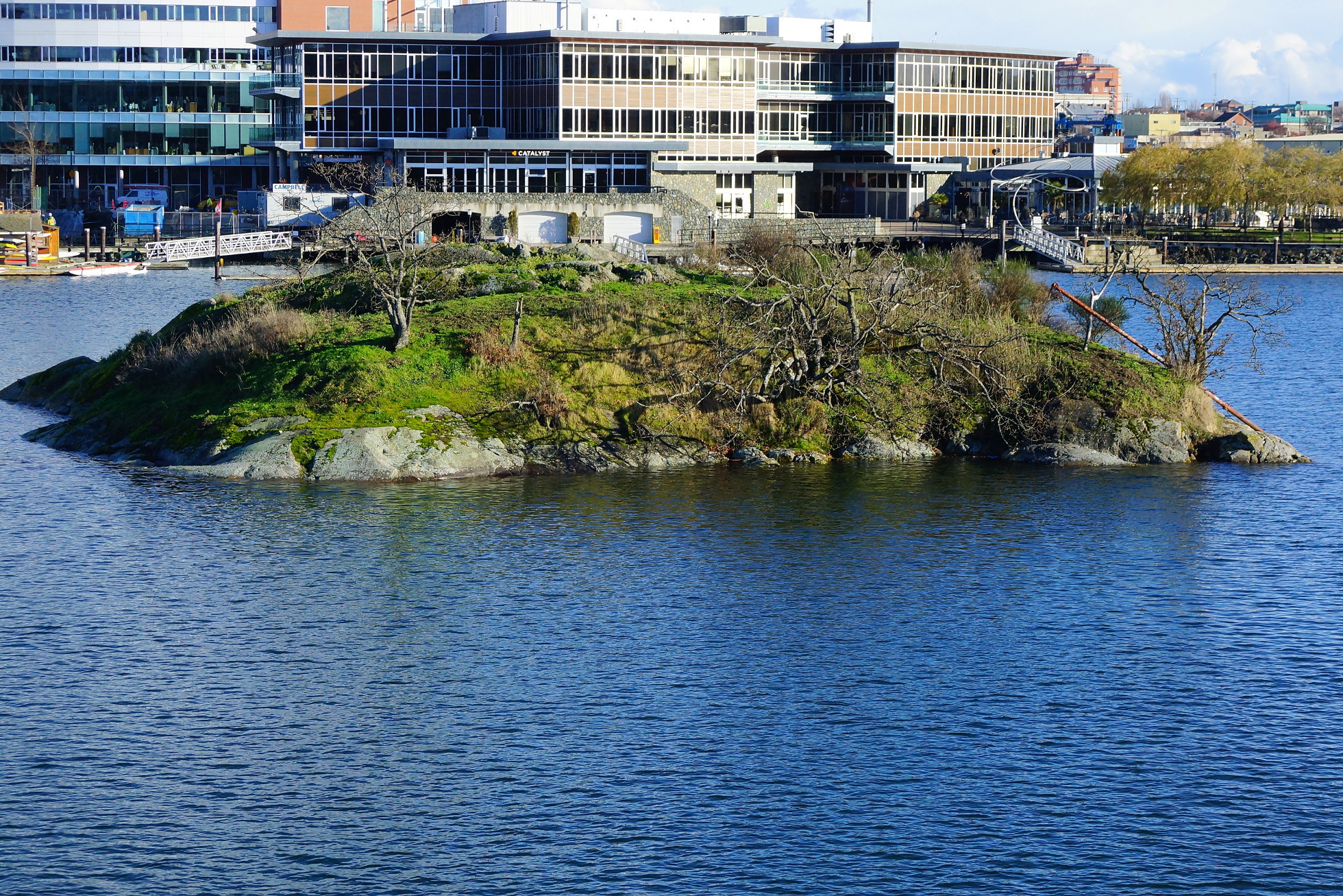
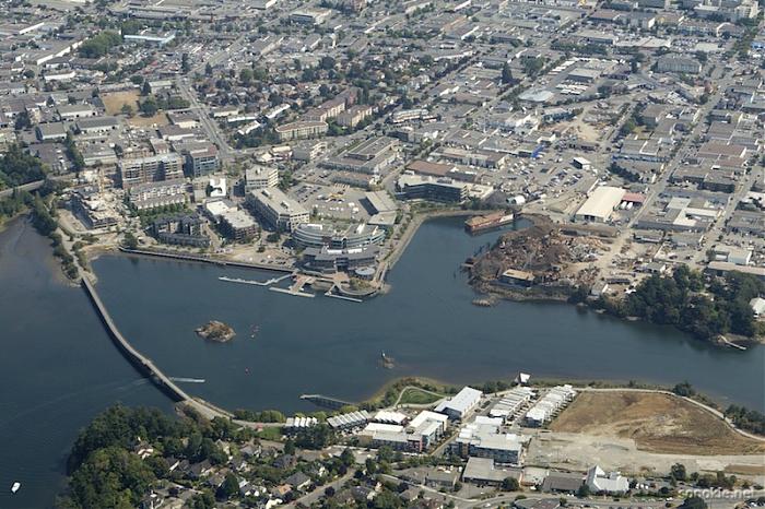
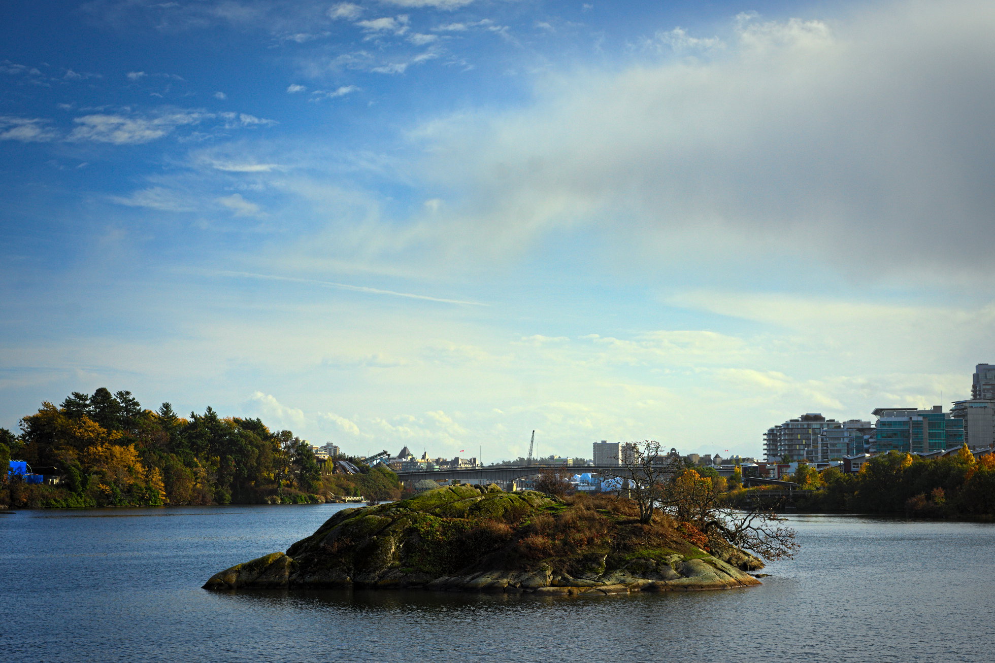
Burials were no longer placed here after 1867, when a fire set by three Victoria boys got out of control and burned off the island. The boys' parents were heavily fined under the Indian Graves Protection Act. The island was taken away from the Songhees in 1924 by a Federal Indian Reserve Commission, but was restored to them by court order in 1993.

Joseph Pemberton, Victoria's most prolific early map maker, gave the name Halkett to the island in 1851. The Halketts were a well known, prominent British Navy family at the time.


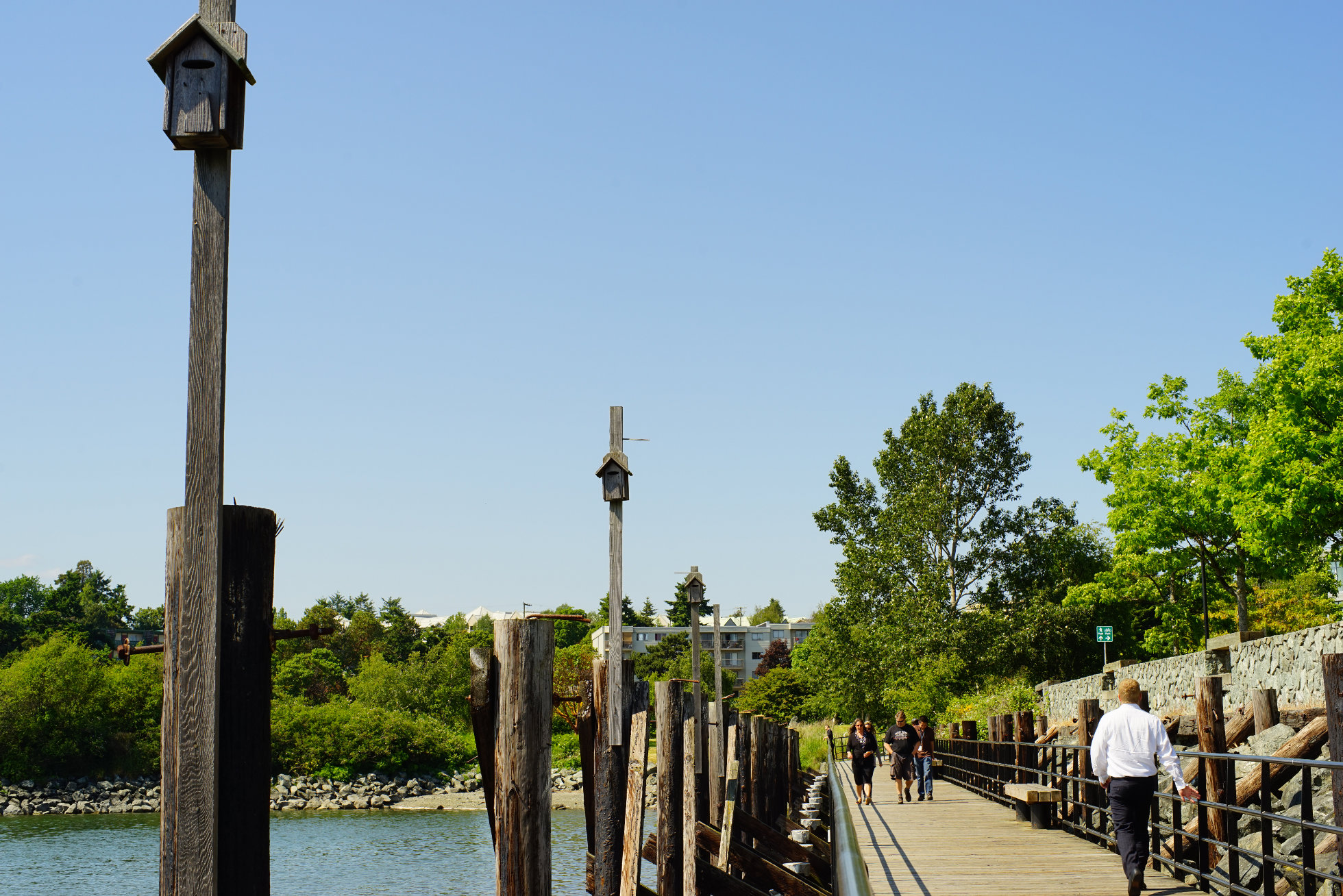
(From a plaque placed on the shoreline near Halkett Island by the City of Victoria)

Tuesday, October 24, 2017

Autumn on the Gorge 2

Like yesterday's photo, today's was taken from the Selkirk Trestle, but looking south towards the city.

Wednesday, August 23, 2017

Glo Restaurant & Lounge

Glo Restaurant & Lounge outdoor seating is visible in the photo above on the upper right. I had lunch there today - absolutely delicious. Great vegetarian fare and my carnivorous companions both were happy with their non-vegetarian meals. I recommend it highly. Everything about this place is good - the location, the service and the food. It's built on the edge of the Selkirk Waters, near the Selkirk Trestle that crosses the Gorge. Across the water you can see the Railyards condominium development in Vic West.

Wednesday, October 7, 2015

Autumn 2

Yesterday's photo was taken looking northwest up the Gorge. In the above photo we are looking south down the Gorge towards downtown, visible beyond the Bay Street (Point Ellice) Bridge.

Friday, May 29, 2015

What happens Next?

Ellice Recycling backs on to one end of the Selkirk Waters and barges like this regularly come up the Gorge to gather another load of crushed cars. What I wonder is what happens to these vehicles next. Are they floated away to be dumped in some vast hoppper and melted down for further use, or...?

Thursday, May 28, 2015

Purple Martin

The lovely sculpture above is located on the eastern shore of the Gorge where it widens to form the Selkirk Waters. It's called "The Purple Martin". I didn't see any of the birds themselves while I was there but there are nest boxes along the walkway that suggest some are resident. Purple Martins are migratory and I don't know if they have returned yet this year.

Friday, October 31, 2014

Selkirk Trestle 2 - Looking Southeast

Here is the view from the middle of the Selkirk Trestle looking south towards the city centre. The green area on the left is Point Ellice, with the Point Ellice (Bay Street) Bridge visible closer to the centre of the photo. On the right, just behind the trees is the Railyards condominium development with the Dockside Green development behind it.

Thursday, October 30, 2014

Selkirk Trestle 1 - Looking North

One of the most distinctive features of Victoria is the body of water called The Gorge. I've mentioned before that no matter where you are in the city you are never far from the water. One reason for this is that the city is located on the pointed tip of Vancouver island and so is bounded by the Pacific Ocean on the east, south and west. The Gorge is another reason we are always close to water. It is a long finger of the ocean (6 kilometers from the Selkirk Trestle to Portage Inlet) that penetrates the city and adjacent municipalities and provides a great deal more shoreline. Where I live in Vic West, for instance, is only a few minutes walk southwards to the Songhees and West Bay Walkways that skirt the Inner Harbour. A few minutes walk north brings me to the shores of the Gorge. The Selkirk Trestle marks the eastern end of The Gorge where it widens and becomes Selkirk Water and then the Upper Harbour. It's called a trestle because it was originally built as a rail crossing for the Canadian National Railway that ran a line out to Sooke. That line carried a train called "The Galloping Goose" and the name has been carried over to the trail that now follows the rail right-of-way. Selkirk Trestle is part of that trail and is reserved for cyclists and pedestrians.

Wednesday, December 11, 2013

Halkett Island

In the centre of the Selkirk Waters lies this tiny island, Halkett Island, here looking surprisingly verdant despite the freezing temperatures. It is also known as Deadman's Island because it was used as a burial place by First Nations people. There's a good short article about the island's history on Wikimapia, as well as the lovely aerial photo below. The "bridge" on the lower left of the photo below is the Selkirk Trestle and is where I took the above photo of the island.

Thursday, December 5, 2013

Selkirk Trestle

As well as providing nice views up and down the Gorge, the Selkirk Trestle is an interesting structure in itself. It was originally part of the Canadian National Railway system and is now a part of the Galloping Goose Regional Trail.

Wednesday, December 4, 2013

Looking South

We had some nice bright days early this week and though the weatherman suggested that snow was a possibility it didn't come to pass. Above is a view of the city taken from the Selkirk Trestle, an old railway trestle that crosses the Gorge and is now a part of the Galloping Goose regional trail for pedestrians and cyclists. The Galloping Goose is much used by cycle commuters who get to enjoy this view every day. Here we are looking south towards the Bay Street Bridge (Point Ellice Bridge) with the city beyond. That green treed area on the left is where Point Ellice House is located and the outlook/viewpoint on the opposite side of the Gorge is at the bottom of the Railyards condominium development.

Saturday, January 19, 2013

Normal Birdwatching

Usually when I post photos of birds they are like close-ups though they have been taken with telephoto lenses. Today's photo is what I usually see. Have you noticed the Belted Kingfisher? He's practically dead centre in this photo. By the time I have fumbled around attaching the telephoto lens the bird I have spotted has often flown away. The wooden structure in the background is the Selkirk Trestle that gives its name to this part of the Gorge, known as the Selkirk Waters. The Selkirk Trestle was originally for rail traffic but is now a part of the Galloping Goose Trail for cyclists and pedestrians.

Friday, January 18, 2013

Landscape With Boats

This is the part of the Gorge known as the Selkirk Waters. It is a wide part of the Gorge between the Bay Street (Point Ellice) Bridge and the Tillicum Bridge. Here we are looking up the Gorge (westward) towards the Tillicum Bridge.This photo was taken from the Selkirk Trestle that bisects the Selkirk Waters and is part of the Galloping Goose Trail.

Friday, October 1, 2010

Gorge Sunrise

Sunrise over the Gorge here looks a little industrial but the silhouettes of the grasses and other shore plants make a nice counterpoint to the cranes and derricks across the Selkirk Waters.

Tuesday, November 3, 2009

Sunset on the Gorge

The Gorge is a splendid feature of Victoria and is well used by residents who like to be on the water. This is a fairly typical scene in the late afternoon as rowers and boaters head for home under some very photogenic clouds. This photo was taken from Selkirk Trestle, looking towards the city. The island on the left, Halkett Island, was featured in an earlier post.

Saturday, July 4, 2009

Selkirk Waters

This view is from the eastern bank of the Gorge looking towards the city and the Inner Harbour. Beyond the Bay Street or Point Ellice Bridge can be seen the condo development known as Dockside Green. The brightly colored condos on the right are called the Railyards.

Today is the annual national holiday of our southern neighbors in the United States of America and I send them my best wishes for a happy holiday.